Things to do in Pampa Linda and how to visit Cerro Tronador from Bariloche
We wrote this guide in Spanish and translated it with the help of AI. Leer en castellano
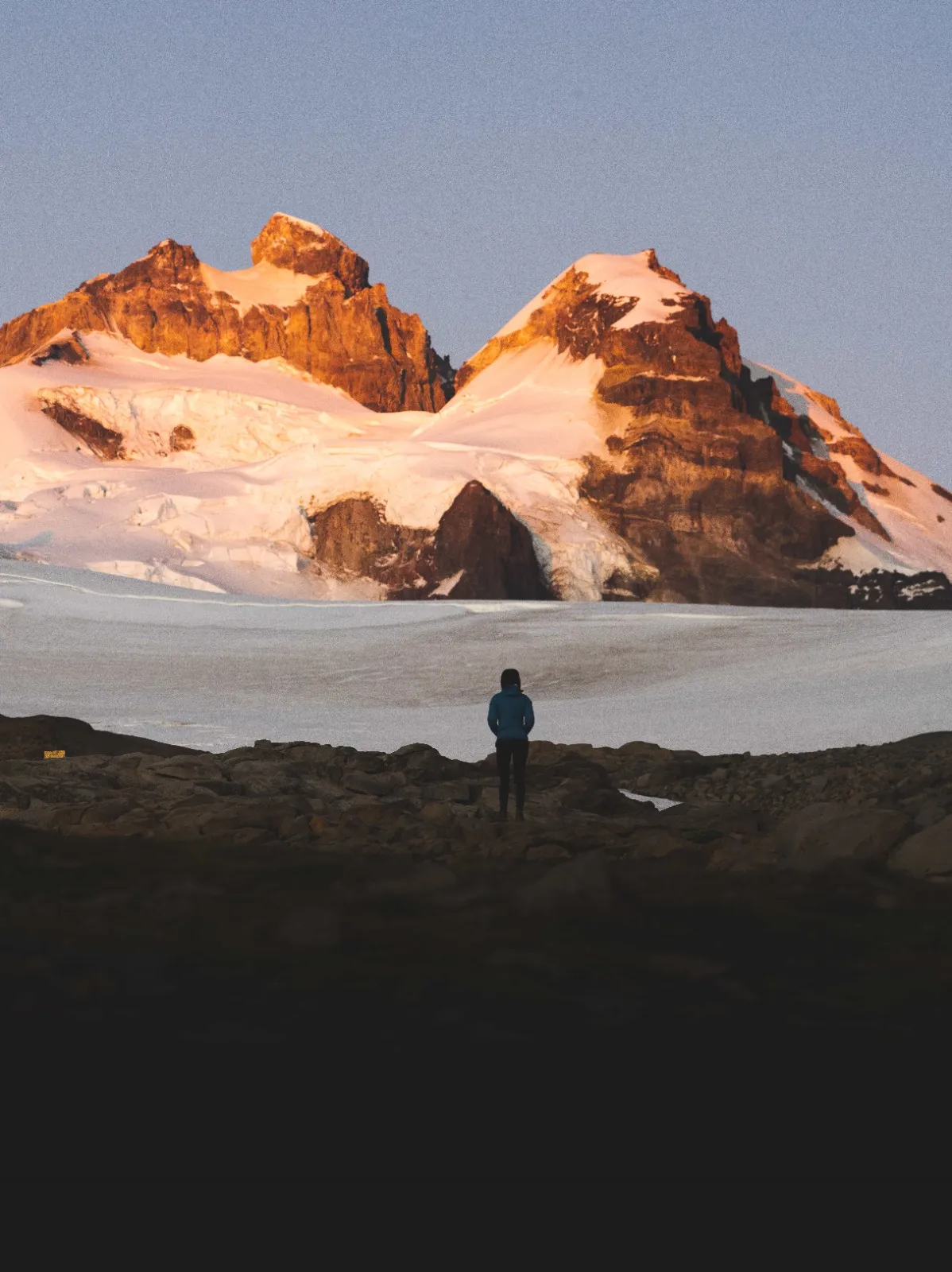
Pampa Linda is one of the most incredible areas to visit near Bariloche. Inside Nahuel Huapi National Park, it's the main access to the imposing Cerro Tronador and its 8 glaciers, including the famous Ventisquero Negro. Some of the region's most beautiful hikes start here, like the one up to Refugio Otto Meiling, and you can visit waterfalls, viewpoints and other refugios (mountain huts). It's just 80 km from San Carlos de Bariloche, and you can get there by car or on a tour.
This article has affiliate links: if you book or buy through them, we earn a commission at no extra cost to you.
How do you get to Pampa Linda and Cerro Tronador from Bariloche?
Pampa Linda is 80 km from San Carlos de Bariloche, and the drive takes a little over 2 hours because much of the road is gravel. Once you enter Nahuel Huapi National Park, after 9 km you reach a spot known as Los Rápidos, where the road splits in two: one route goes to Pampa Linda and Cerro Tronador, and the other to Cascada de los Alerces. Both routes run one-way during set hours, so it's essential to plan your trip around this schedule:
Going to Pampa Linda from Los Rápidos:
🕥 From 10:30 to 14:00
Return from Pampa Linda to Los Rápidos:
🕓 From 16:00 to 18:00
Two-way traffic (Pampa Linda - Los Rápidos):
🌙 From 19:30 to 9:00
Going to Cascada de los Alerces from Los Rápidos:
🕑 From 14:00 to 17:00
Return from the waterfall to Los Rápidos:
🕚 From 11:00 to 13:00
Two-way traffic (Alerces - Los Rápidos):
🌙 From 18:00 to 10:00
The best way to visit this area is in your own car or a rental. We always use Rentalcars.com to book cars, since having one lets you explore at your own pace and visit more places nearby. If you don't have a vehicle, you can also book a tour to Cerro Tronador from Bariloche, which includes transfers and a guide.
Another option is public transportation from Bariloche, though with less flexible schedules. The refugios also offer shuttle vans.

Travel with peace of mind with Heymondo travel insurance
Get your travel insurance on Heymondo (opens in a new tab)
This is an affiliate link: if you book or buy through it, we earn a commission at no extra cost to you.
Nahuel Huapi National Park entrance fees (updated 2025)
To reach Cerro Tronador and Pampa Linda you have to pay the entrance fee to Nahuel Huapi National Park, since both are inside the park. These are the updated fees for 2025:
- Residents of Argentina: ARS 7,000
- Residents of Río Negro or Neuquén provinces: ARS 5,000
- Retirees, pensioners and children under 6: Free (with a DNI, the Argentine national ID)
- Foreigners: ARS 20,000
💡 Travel tip: These prices apply to your first day in the park. On the second day you get a 50% discount, which you can use at the same entrance gate.
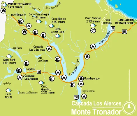
Here's an official map of Nahuel Huapi National Park with the main points of interest marked, like Cerro Tronador, Pampa Linda, Ventisquero Negro, camping areas and trails.

Rent your car here to explore Cerro Tronador
Rent a car on DiscoverCars (opens in a new tab)
This is an affiliate link: if you book or buy through it, we earn a commission at no extra cost to you.
Hikes and trails at Cerro Tronador
The Pampa Linda and Cerro Tronador area is a real paradise for anyone who loves hiking. There's something for everyone, from quick little walks to treks that take all day. Here are the most recommended ones, grouped by how long they take:
Short hikes (1-2 hours)
1. Playa Negra
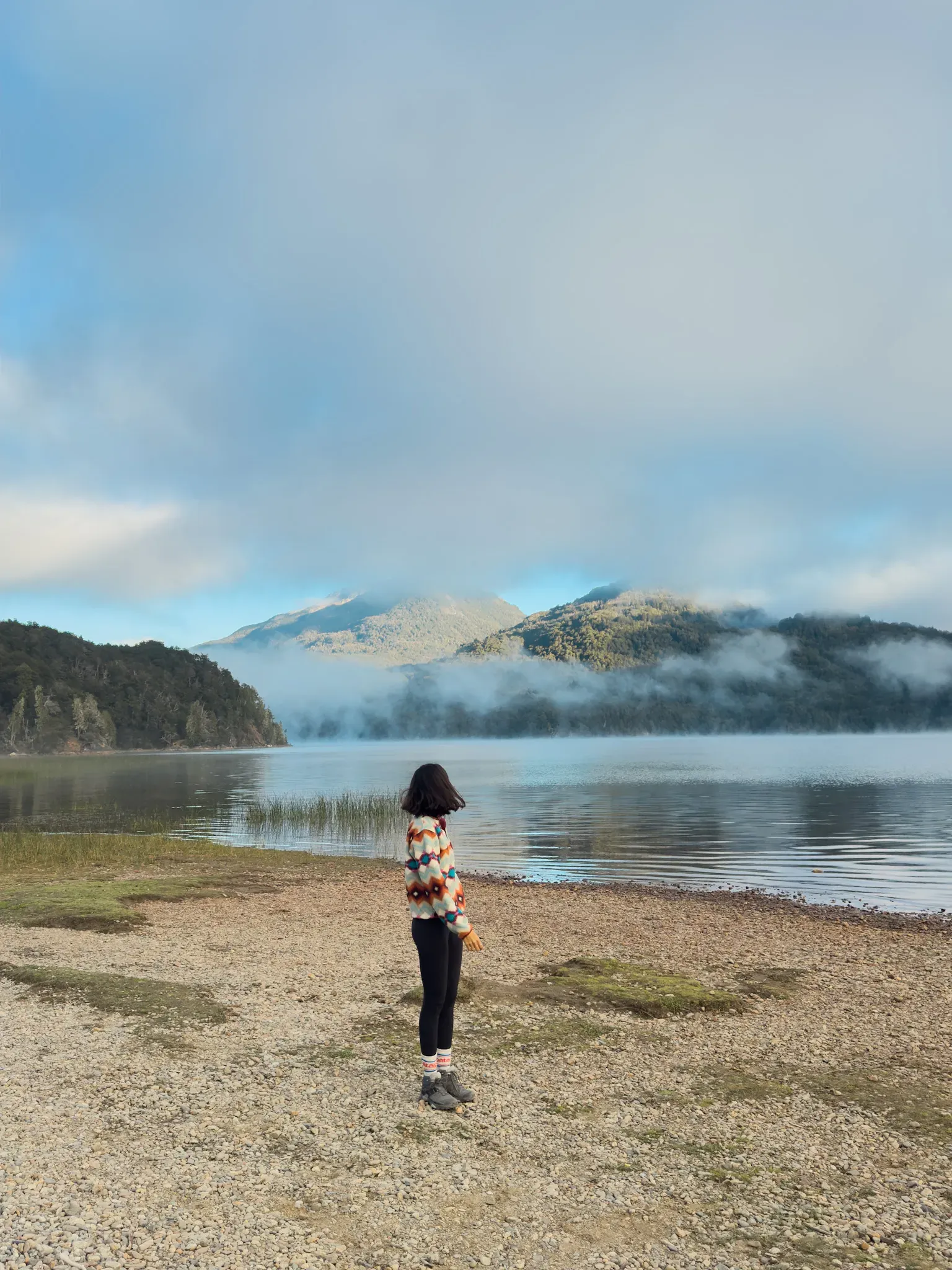
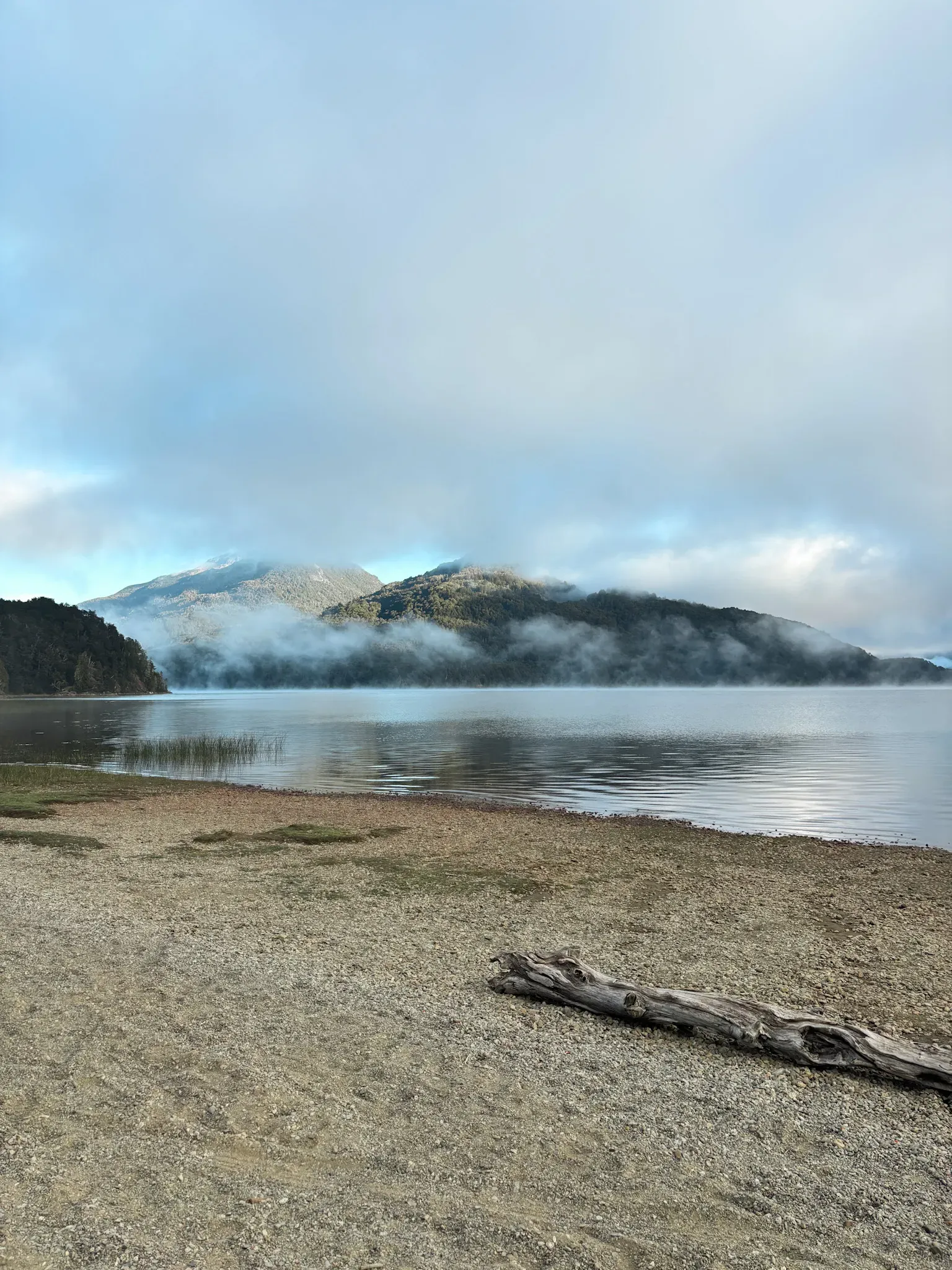
A few kilometers after the gravel road to Pampa Linda begins, this beach on Lago Mascardi is ideal for a scenic stop.
2. Saltillo de las Nalcas
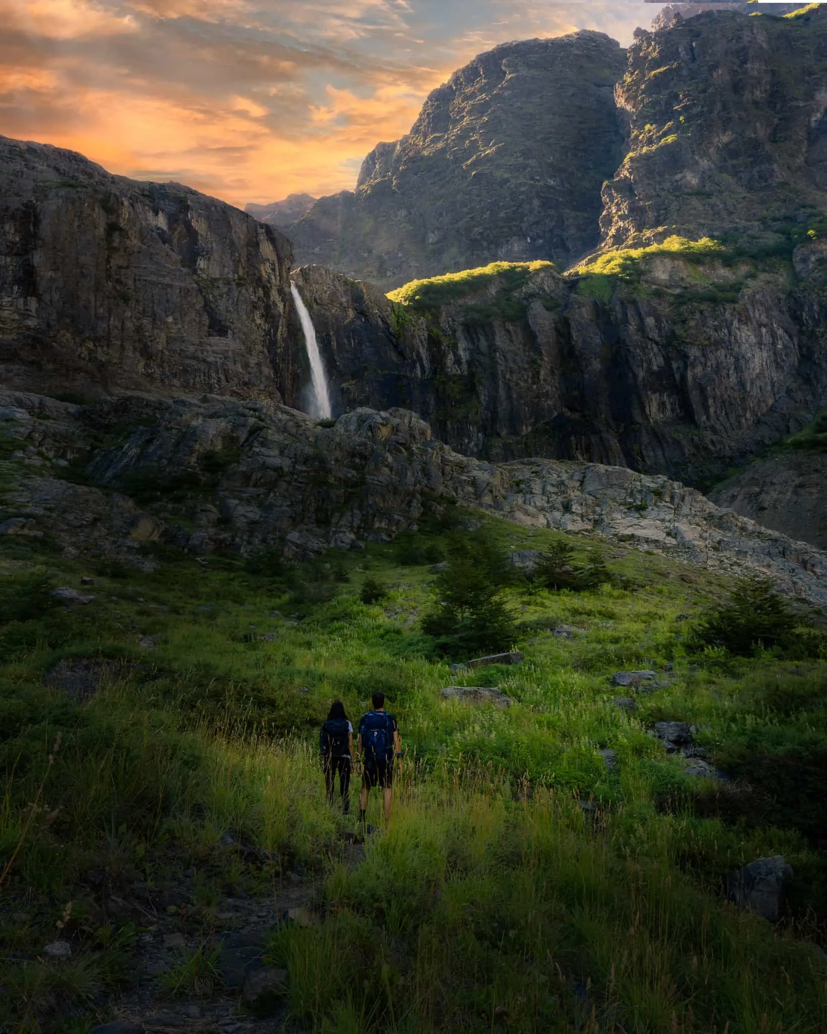
A very short trail (20-30 minutes) that starts 400 m (1,310 ft) from the Hostería Pampa Linda inn. It leads to a waterfall that drops freely from a rocky ledge on Cerro Biblioteca. The really cool part is that you can walk behind the falls. Just be careful, because the rock is slippery.
3. Ventisquero Negro
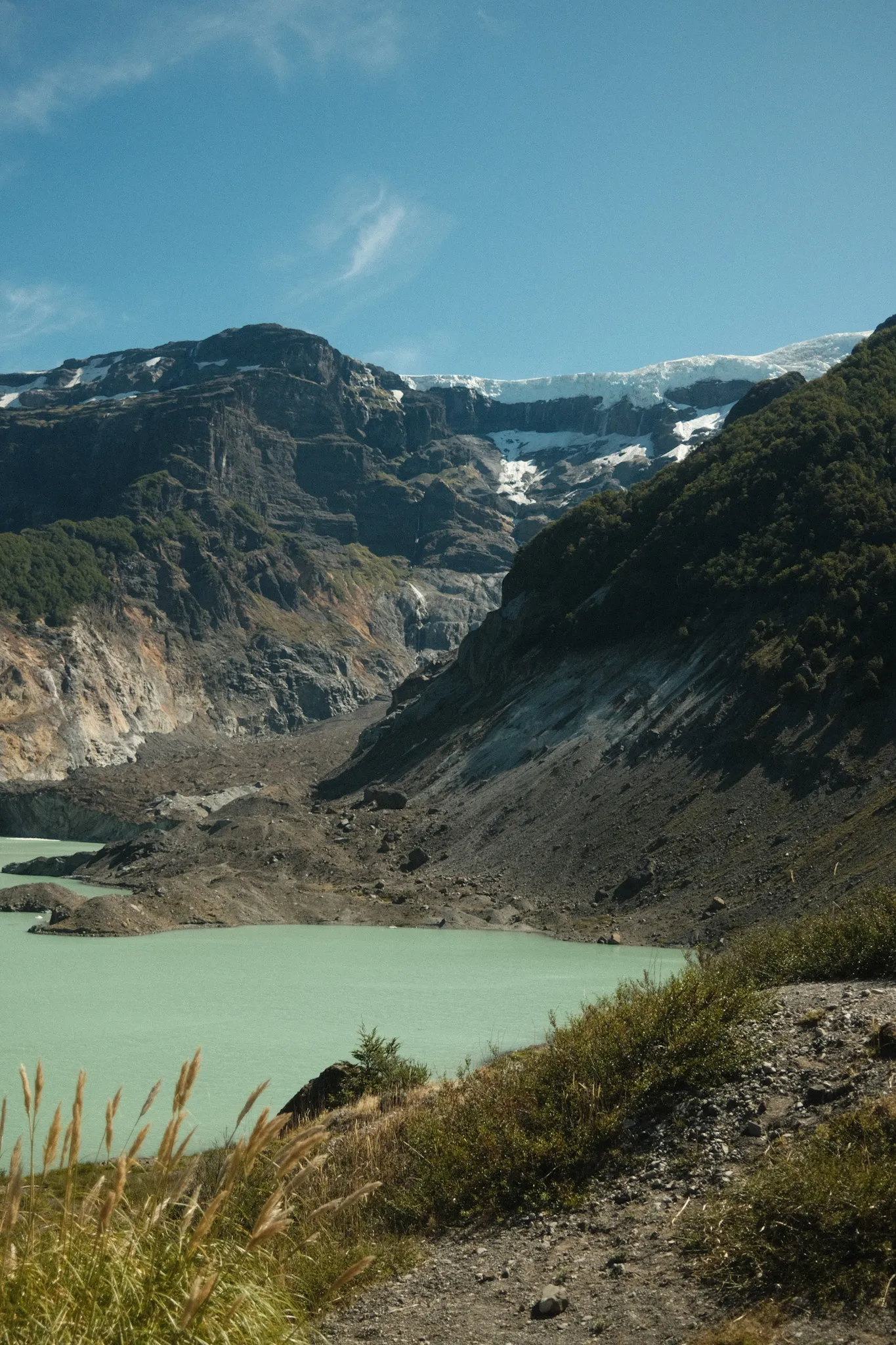
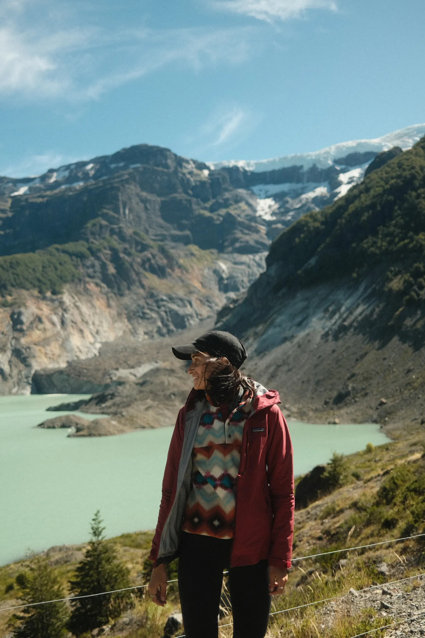
It's 7 km (4.3 miles) from the hostería, and you can get there by car. This dark glacier is one of the most iconic on Tronador. Its black color comes from the sediment the glacier carries along.
📸 Fun fact: The mountain is called Tronador ("Thunderer") because of the thundering noise of falling ice.
4. Garganta del Diablo
An easy trail of 1 km (0.6 miles, 20 min) takes you to this waterfall formed by glacial water. It's surrounded by vegetation, at the foot of Tronador.
5. Cascada de los Alerces
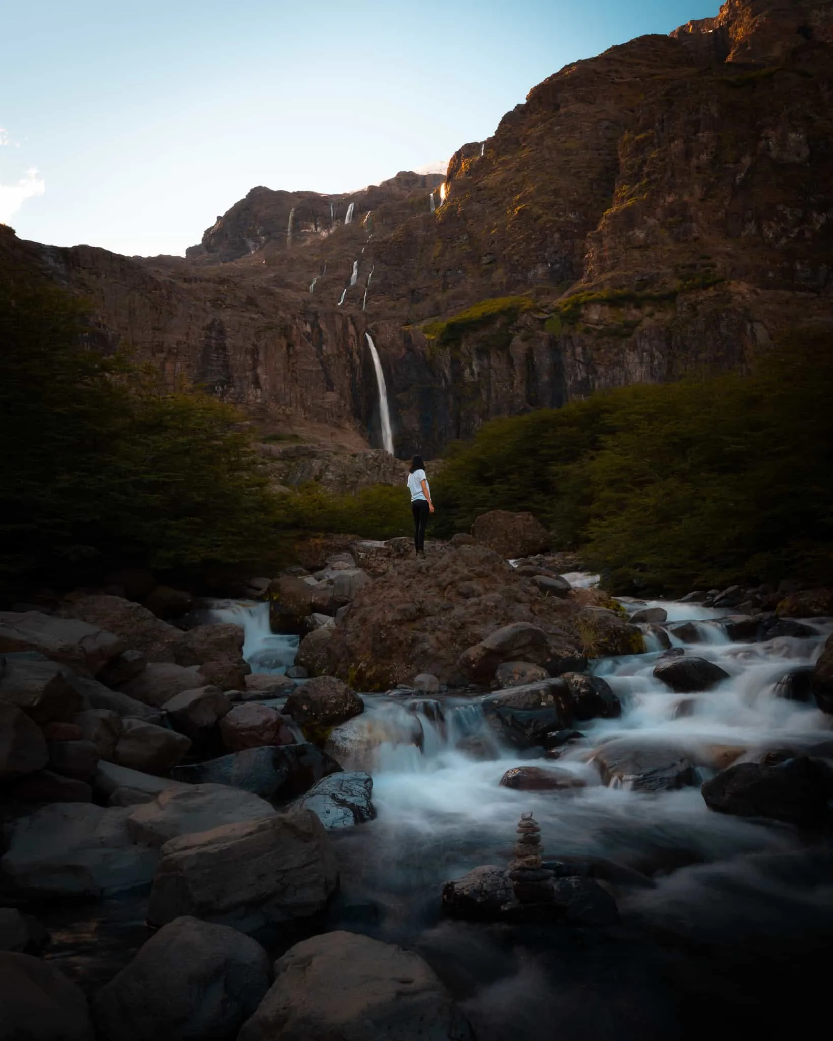
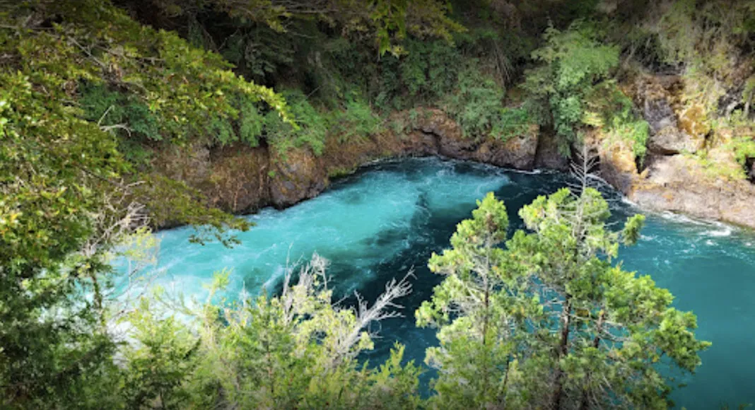
You reach it from the turnoff at Los Rápidos (not from Pampa Linda). It's a short trail of 500 m (1,640 ft) with wooden stairs and several viewpoints over the Río Manso and the imposing waterfall.
Half-day hikes (3-5 hours)
1. Piedra Pérez
A hard trail, 5 km (3.1 miles) round trip, that the park recommends doing with a guide. It starts at the Confitería Los Ventisqueros café, at the base of Tronador. Most of the trail goes uphill until you reach the spectacular views of Glaciar del Manso and Glaciar Castaño Overa.
2. Glaciar Castaño Overa
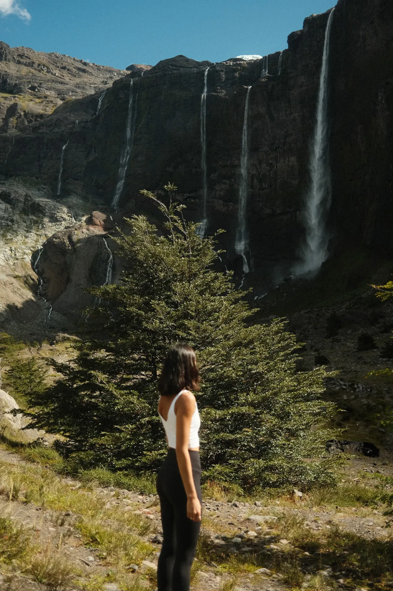
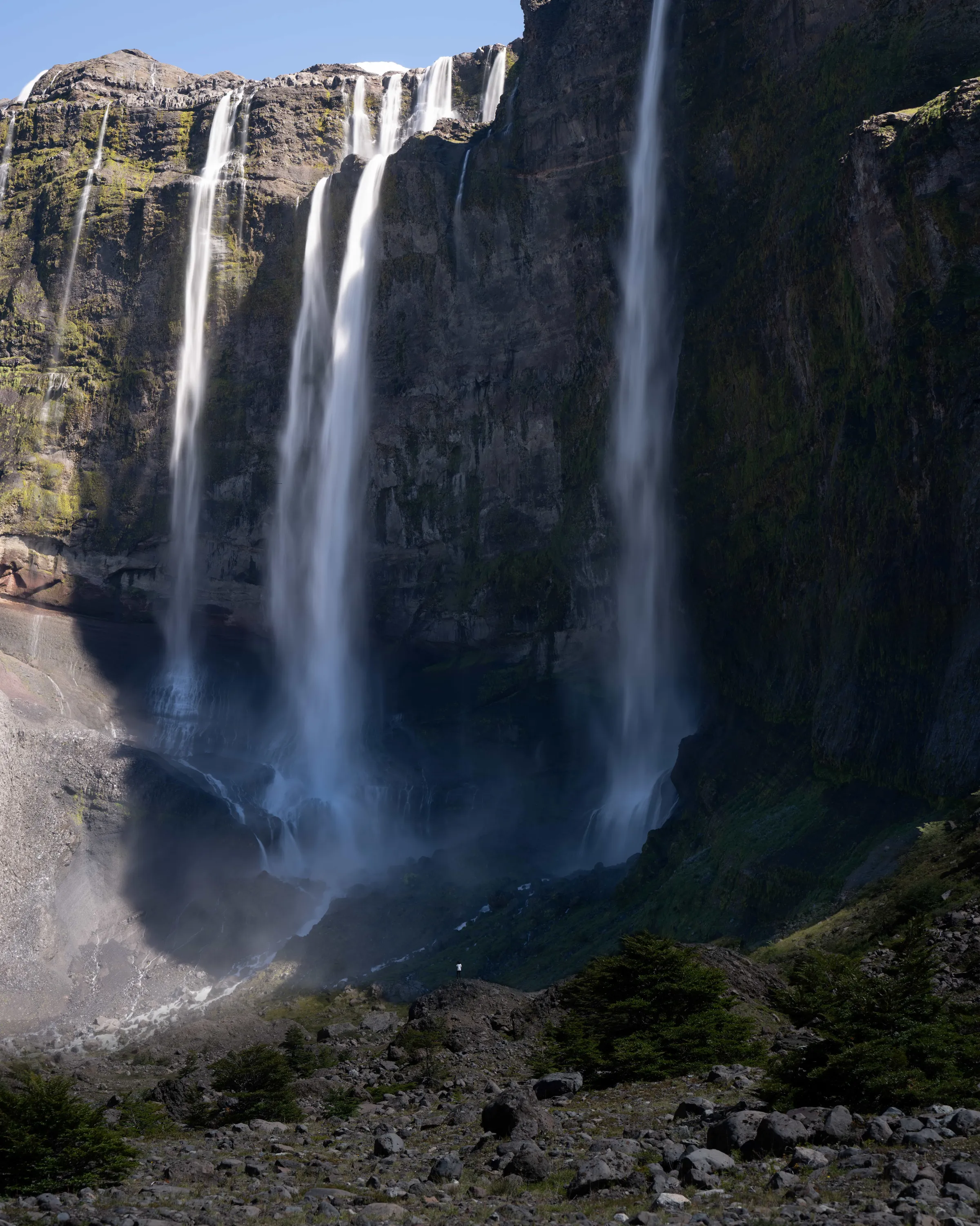
From Pampa Linda it's 14 km (8.7 miles) round trip (moderate difficulty). Don't miss what you see from the viewpoint: the glacier and the waterfalls around it. The estimate is 6 hours, but you can do it in less if you're in good shape.
This trail starts at the Pampa Linda ranger station and is 14 km (8.7 miles) round trip, at a moderate level of difficulty. The national park's sign says it takes about 6 hours, but you can do it faster. We did it in 3 hours.
The first few kilometers are fairly flat, and the trail follows the route to Refugio Otto Meiling until you reach a fork that takes you to the viewpoint (about 1 hour from the turnoff).
From the viewpoint you can see many waterfalls fed by meltwater from Glaciar Castaño Overa, and you get a prime view of the glacier from below.
Full-day hikes (6+ hours)
1. Refugio Otto Meiling
This refugio is one of our favorites in all of southern Argentina. It sits at 2,000 m (6,560 ft) above sea level, on a kind of ridge between the Castaño Overa and Alerce glaciers, which gives you spectacular views on both sides. We're not exaggerating when we say this place is unreal!
- Trailhead: The ranger station in Pampa Linda.
- Distance: 13 km (8.1 miles) one way.
- Estimated time: 5 hours going up.
- Difficulty: Moderate to hard.
- Reservation: Required to stay overnight or camp. You make it on the refugio's official website.
From the refugio you can do tours on the glaciers, like walks with crampons or more technical crossings (they require a guide and a reservation).
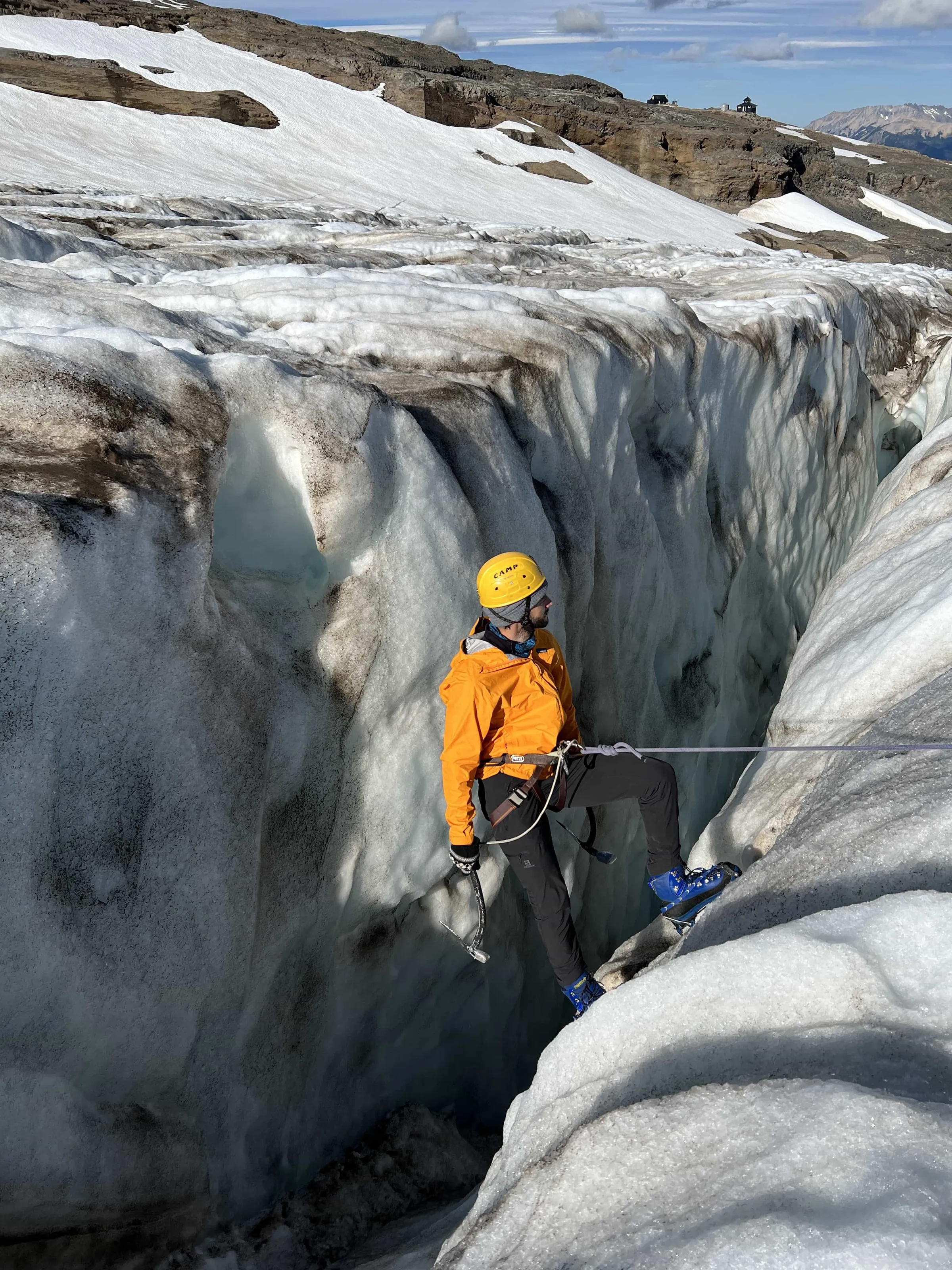
We tried to do the crossing to Refugio Rocca over Glaciar Alerce, but there were no spots left. So we did a walk on Glaciar Castaño Overa instead, and it was incredible. Walking among crevasses, hearing water running under the ice and having Cerro Tronador so close is an amazing experience.
2. Refugio Agostino Rocca
Another excellent option for spending a night in the mountains. It's in very green surroundings, with views of Lago Frías and Glaciar Alerce.
- Trailhead: Same as the others, at the Pampa Linda ranger station.
- Distance: 14 km (8.7 miles).
- Estimated time: 4 to 6 hours.
- Difficulty: Easy to moderate.
- Reservation: You also need to book ahead to sleep here. Camping isn't allowed: you can only sleep in the refugio.
From the refugio you can do several short hikes:
- Paseo de las Cascadas
- Climbing Cerro Constitución
- Crossing Glaciar Alerce to Otto Meiling (with a guide)
- The trail to Laguna Ilón
You can also come back from the refugio via Lago Frías, going down a 12 km (7.5-mile) trail to the pier, where you catch a boat to Puerto Pañuelo. It's a different, magical way to end the adventure.
3. Refugio Laguna Ilón
Ideal if you're looking for more peace and quiet and the scenery of a high-altitude lake. The trail is shorter, with beautiful views of Cerro Tronador and the mountains around it.
- Trailhead: Same spot as the others.
- Distance: 8 km (5 miles).
- Estimated time: 4 hours.
- Difficulty: Moderate.
- Reservation: Required to camp or sleep in the domes. There are private and shared domes.
From here you can do a 1-hour hike to the famous Mirada del Doctor, a natural viewpoint with mind-blowing views.
🧭 You can also link this refugio with Agostino Rocca on a mountain trail that connects the two.

Book a tour to Cerro Tronador
See tours on Civitatis (opens in a new tab)
This is an affiliate link: if you book or buy through it, we earn a commission at no extra cost to you.
Where to stay in Pampa Linda
If you want to really enjoy the area, do several hikes or reach one of the mountain refugios, it's best to sleep in Pampa Linda for at least one night. That way you avoid the round trip from Bariloche and make better use of your time.
Pampa Linda has several places to stay:
- Hostería Pampa Linda: One of the best-known options. It has private rooms with a bathroom, a restaurant, and an ideal location for setting out on a hike right from the door.
- Albergue Pampa Linda: A cheaper alternative on the same grounds as the hostería, with shared rooms and the option of half board.
- Camping Los Vuriloches: A campground with shaded sites, bathrooms with showers and a restaurant.
And if your plan is a multi-day trek, you can also sleep at one of the area's mountain refugios, like Refugio Otto Meiling, Refugio Agostino Rocca or Refugio Laguna Ilón. All of them require a reservation in advance.
- Did a price or a detail change? Tell us at hello@charoandmarcos.com
- Still have a question? Ask us on Instagram (opens in a new tab)

Your next step
Salta and Jujuy Itinerary: A Complete 10-Day Guide to Northern Argentina
Planning a trip to northern Argentina and not sure where to start? In this guide we tell you what to do in Salta and Jujuy in 10 days, with…