Los Alerces National Park guide: what to do, trails and how to visit from Esquel
We wrote this guide in Spanish and translated it with the help of AI. Leer en castellano
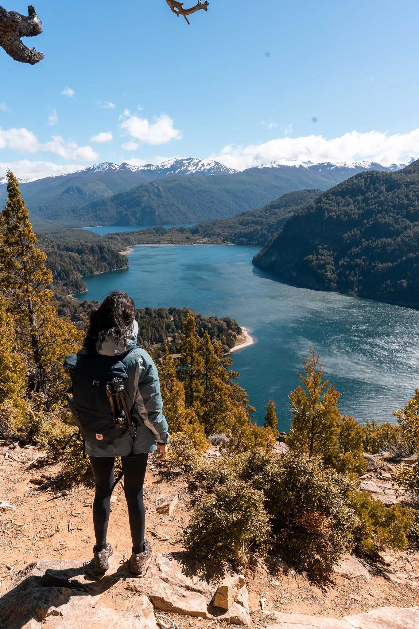
Los Alerces National Park is a protected natural treasure covering 263,000 hectares, which makes it the fourth largest in Argentina. It's in Chubut province, 50 km from Esquel and 25 km from Trevelin, on the border with Chile. It has been declared a World Heritage Site, and it's home to waterfalls, lakes and impressive forests, as well as the ancient forest of alerces (Patagonian cypresses), more than 2,600 years old. For places to stay there are several options, including guesthouses and both primitive and organized campgrounds. We recommend setting aside at least three days to explore and enjoy this magnificent place.
This article has affiliate links: if you book or buy through them, we earn a commission at no extra cost to you.
Best time to visit Los Alerces National Park
Spring and fall are excellent times to visit Los Alerces National Park. Temperatures are pleasant and there are fewer tourists. The only downside is that the weather can be changeable, with some rainy, windy days. Summer (December, January and February) is the park's high season. In winter, during May and June, the weather is rainy, so many trails close.

Travel with peace of mind with Heymondo travel insurance
Get your travel insurance on Heymondo (opens in a new tab)
This is an affiliate link: if you book or buy through it, we earn a commission at no extra cost to you.
How to get to Los Alerces National Park
As we mentioned, Los Alerces National Park is in Chubut province, near the cities of Esquel and Trevelin. Esquel has an airport, but it's fairly small, flights are usually expensive and there aren't many of them. We decided to fly from Buenos Aires to Bariloche, rent a car and drive the 5 hours between the two cities. We think this is a pretty convenient option, since we recommend having your own transportation to visit the national park and the surrounding area. If renting a car isn't an option, there are buses from Bariloche to Esquel and Trevelin.

Rent a car here to explore the national park
Rent a car on DiscoverCars (opens in a new tab)
This is an affiliate link: if you book or buy through it, we earn a commission at no extra cost to you.
How to visit Los Alerces National Park
There are many ways to see the park:
- Boat or land tours with travel agencies
- In your own car. For us this is the best way to explore it, since the park is huge and a car gives you more freedom.
- By bike
- On foot. There are lots of trails connecting the lakes with the campgrounds and cabins.
- By public transportation. Buses leave from the bus terminal in the city of Esquel. In the summer months (January, February and December) they run more often and stop at some points in the park.

Book tours in Los Alerces National Park here
See tours on Civitatis (opens in a new tab)
This is an affiliate link: if you book or buy through it, we earn a commission at no extra cost to you.
The entrances to Los Alerces National Park
As we said, the park is huge, and it has 3 access points:
The south entrance
This one is closest to Trevelin, and it's where you'll find the Futaleufú Dam and several trails.
The north entrance
This is the quietest and least populated. It's a very beautiful valley, home to Lago Rivadavia and Villa Rivadavia, a small rural village with minimal services.
The central entrance
You could call it the main one, since most of the trails are here. This entrance gives you access to Lago Futalaufquen.
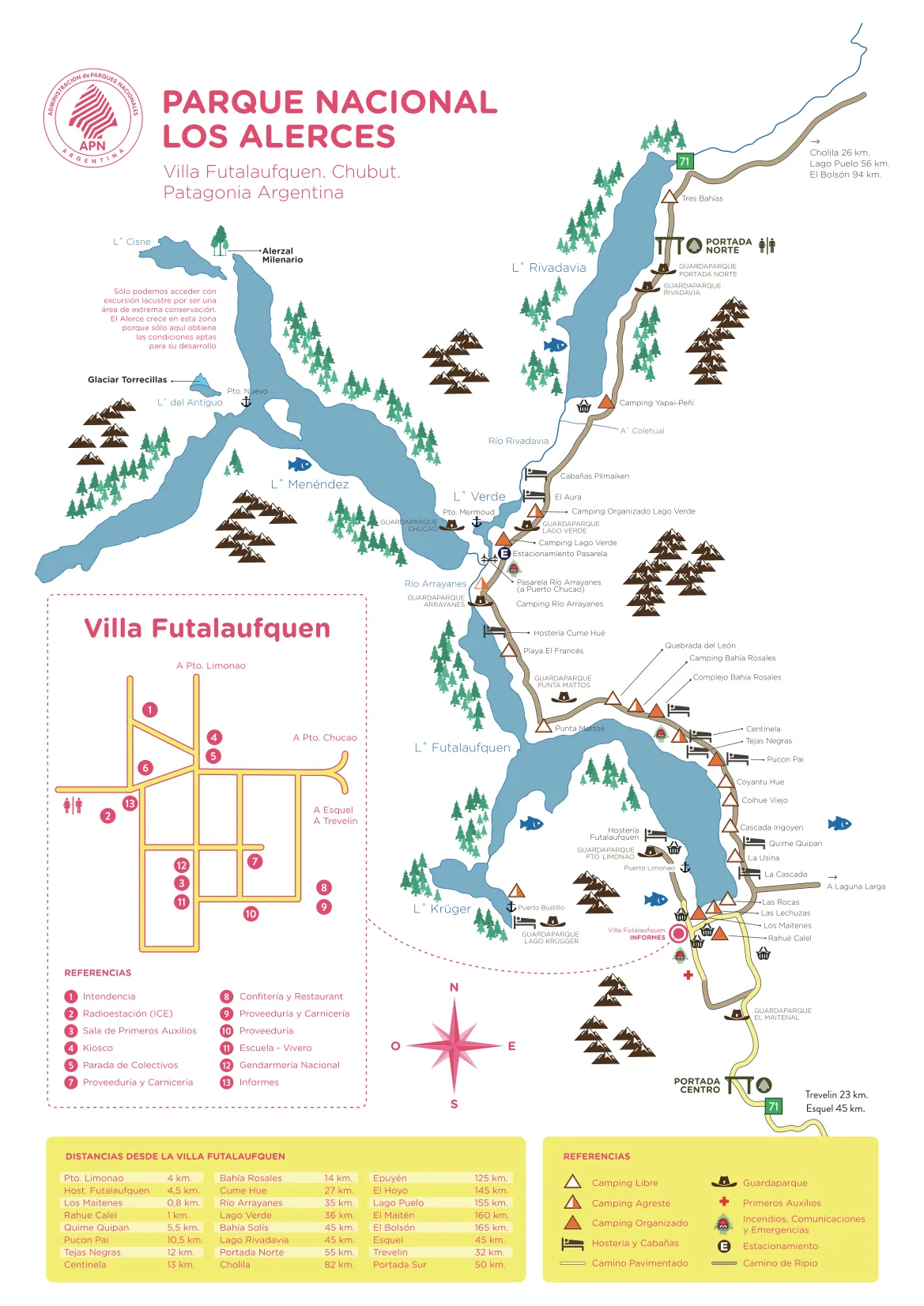
The northern and central parts of the park are connected by a road that runs through the interior of the national park. Below is a map of the north and central zones of Los Alerces National Park.
Trails in the north zone of Los Alerces National Park
1. Lahuán Solitario
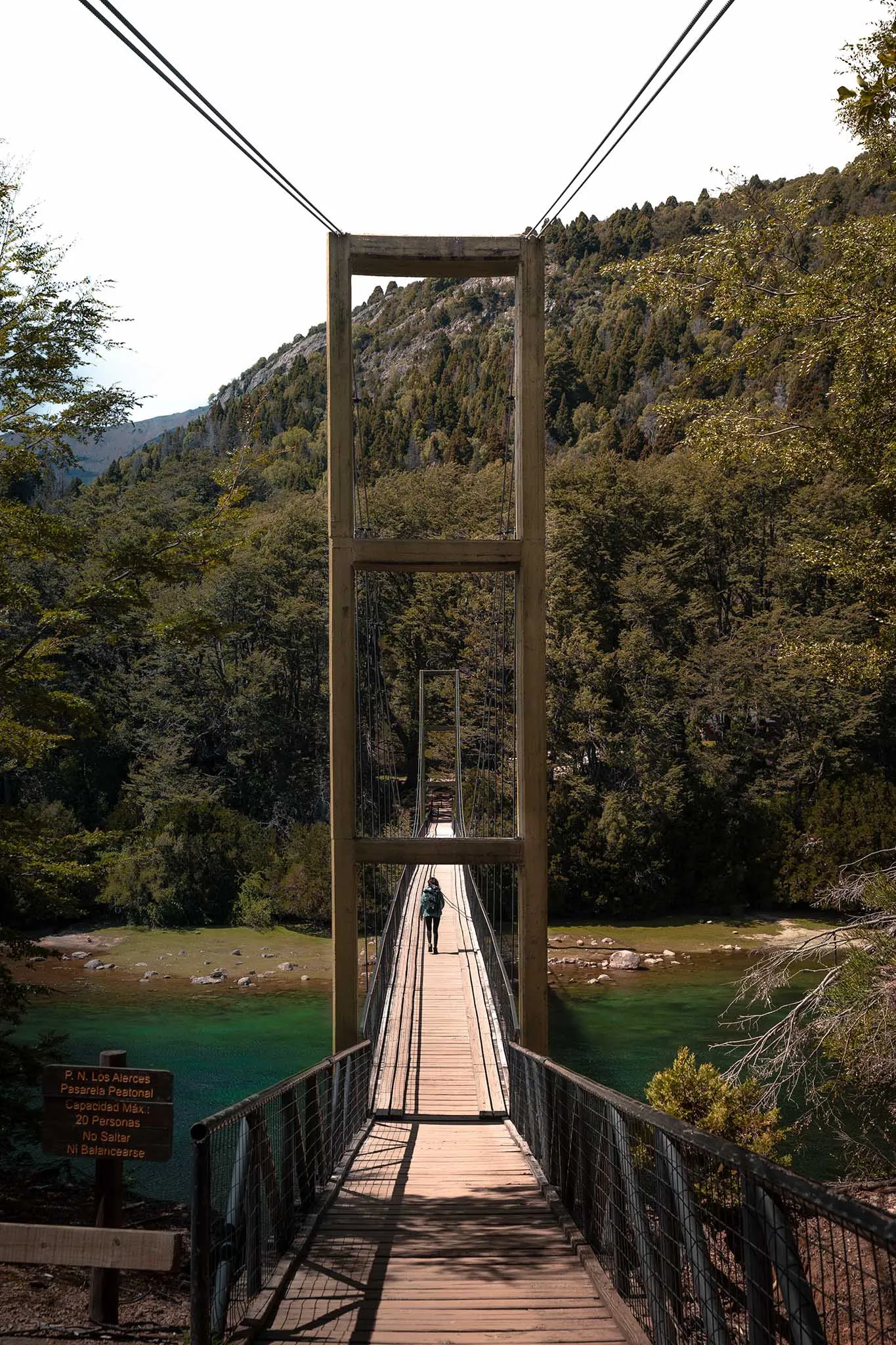
This is an easy, beautiful trail. It starts after you cross the footbridge over the Río Arrayanes, which is an incredible emerald color, and then runs along the Río Menéndez. The trail ends at Puerto Chucao (where the tours to Alerzal Milenario leave from). A few meters before you get there you can see the Lahuán, or alerce, about 300 years old. The trail takes 1 hour.
2. Alerzal Milenario
You can only visit it on a boat tour. The boat leaves from Puerto Chucao and goes to Puerto Sagrario, where you set off on a walk through the Valdivian rainforest. Along the way you walk among majestic alerces, including “El Abuelo” (The Grandfather), more than 2,600 years old. This trail is 2 km (1.2 miles) long and easy.
3. Lago Verde viewpoint
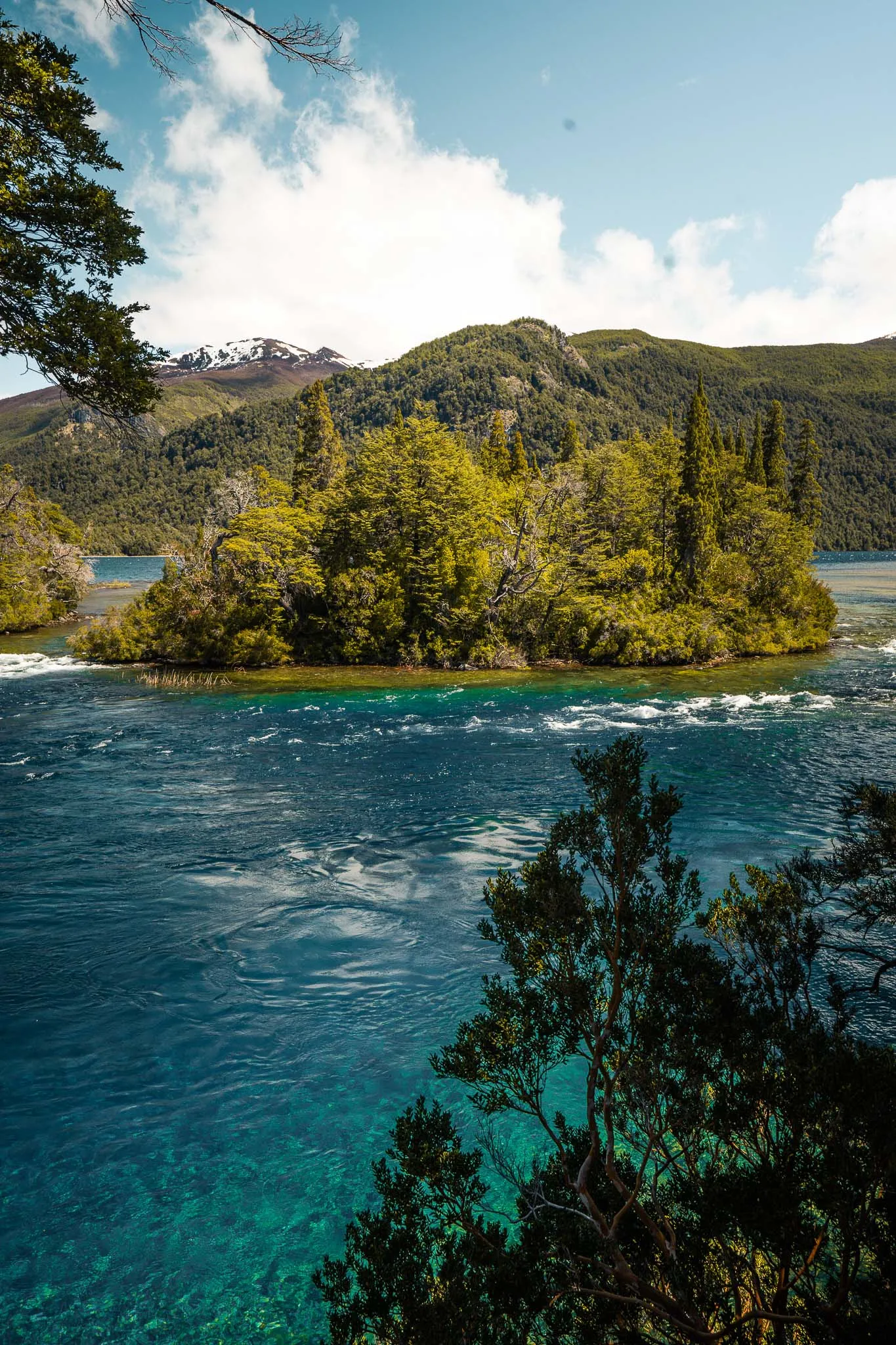
You get there on a short, easy trail of 1.6 km (1 mile). It starts at the Lago Verde ranger station. From the viewpoint you can see Lago Verde, Lago Rivadavia and Lago Menéndez, a spectacular view!
4. Río Rivadavia loop
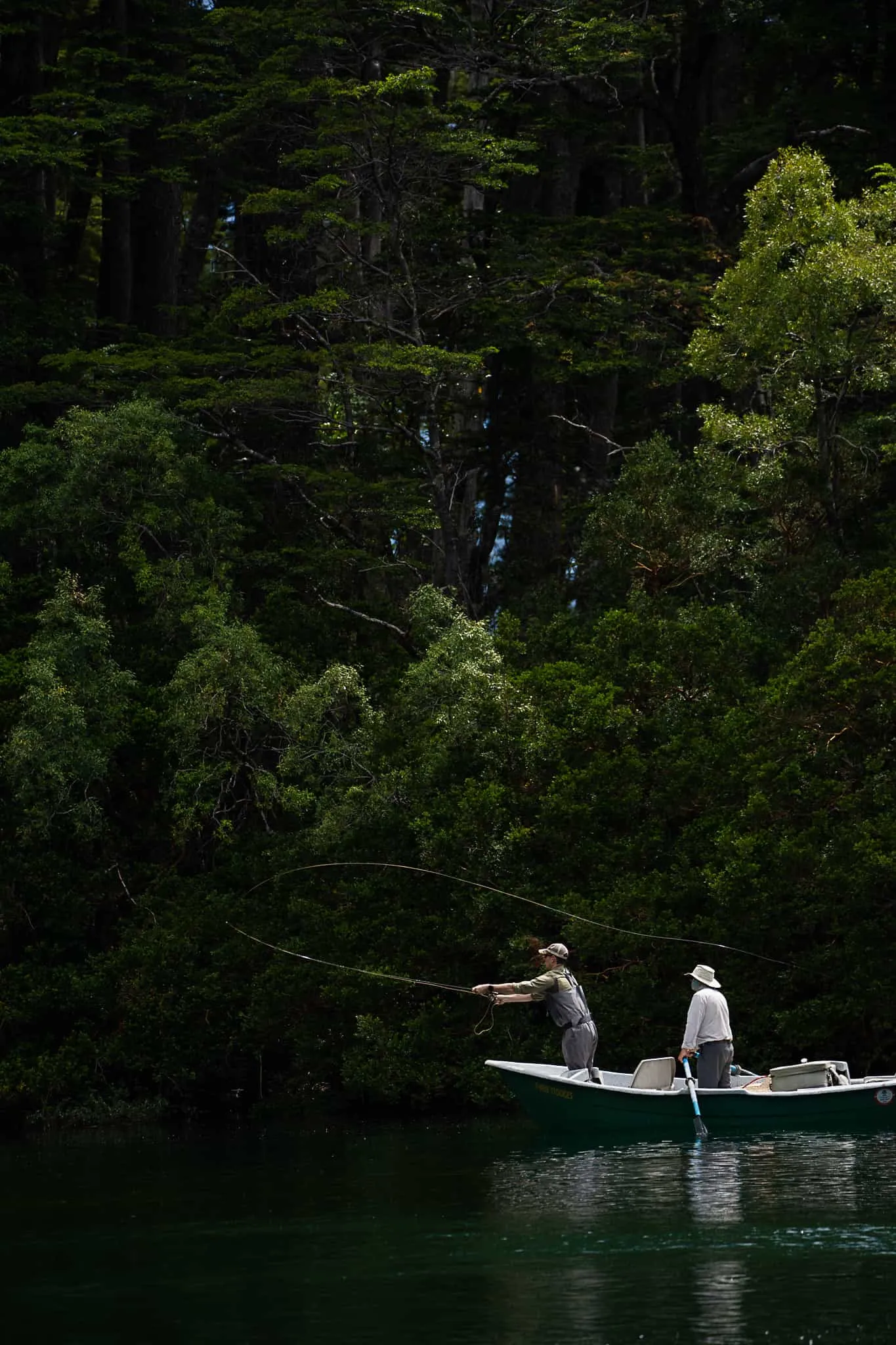
This is a super easy loop, with no changes in elevation, that goes around Lago Rivadavia and the Río Rivadavia. The trail starts next to Camping Bahía Solís and is 5.6 km (3.5 miles) long.
5. Laguna Escondida
This hike starts at the Río Arrayanes ranger station. It's 2 km (1.2 miles) long and easy. The trail is short but steep, and it's best done in the morning, when the light is better for the view.
6. Cascada Arroyo del Hacha trail
This is an easy, 45-minute trail. It starts at the Rivadavia ranger station, and you can see the waterfall next to the Lago Rivadavia viewpoint.
7. Cerro Alto El Petiso
This trail is moderate. It starts on the shore of Lago Verde, then goes through the forest on a series of switchbacks and continues along the streambed until it reaches the ridge, which you follow up to the summit. This part is the hardest, since the whole way is rocky. You have to be careful and pay attention to the trail markers, since they aren't very visible. Once you're at the top, the view is impressive. You can see Lago Menéndez, Lago Futalaufquen and Lago Rivadavia, plus the vastness of Los Alerces National Park.
The route is about 8 km (5 miles) each way.
8. Quebrada del León trail
This one is a super nice viewpoint over a waterfall. The trail is 1 km (0.6 miles) long and easy.
9. Torrecillas Glacier
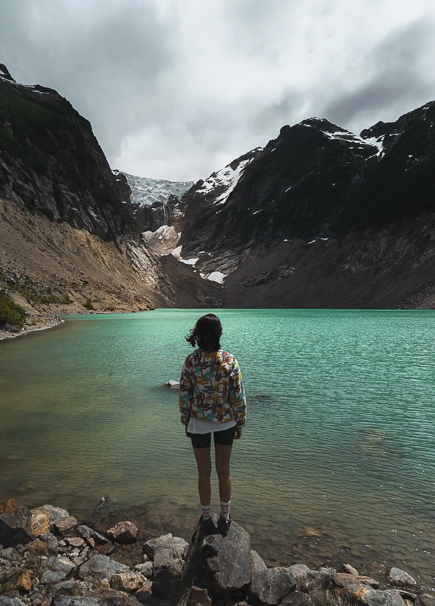
One of the park's top attractions is Torrecillas Glacier. To visit it you have to take a tour that leaves from Puerto Chucao and sails for about 40 minutes across the beautiful Lago Menéndez to Puerto Nuevo, where the trek begins. The climb, which is easy to moderate, takes about 1 hour 30 minutes to 2 hours. The first part of the route goes through Valdivian forest, then you follow a mountain stream to Laguna del Antiguo, at the foot of the spectacular Torrecillas Glacier.
This tour runs all year, and we highly recommend it. We did it with the people at Glaxiar and were very happy with their professionalism and service.

Trails in the central zone of Los Alerces National Park
a. Cascada Irigoyen trail
It's 6 km (3.7 miles) from the information center, on Provincial Route 71 (RP 71). You can drive to the start of the trail, and from there it's a super short, easy trail of 10 minutes.
b. Rock paintings
You visit a rock shelter with paintings dating from the 7th century AD to the 18th. The trail takes 30 minutes (one way), is easy and starts 1,200 m (0.75 miles) from the Villa Futalaufquen Information Center.
c. Puerto Limonao
It's on Lago Futalaufquen, 3 km (1.9 miles) from Villa Futalaufquen. You can get there by vehicle or on a hiking trail through the forest and along the lakeshore. The trail is 4 km (2.5 miles) long and easy.
Puerto Limonao has a small beach with clear water, ideal for enjoying the day. Several tours leave from here in summer.
d. Lago Krüger
Lago Krüger is a small body of water of singular beauty. It has a primitive camping area and a refugio (mountain hut). You can get there on a boat tour or on a hike.
The trail to Lago Krüger is one of the trickiest in the park, so we recommend always checking on the state of the route. It's 16.5 km (10.3 miles) each way, takes about 7 hours (one way) and is moderate to hard. The trail starts 3 km (1.9 miles) from Puerto Limonao and passes Playa Blanca.
e. The Palanganas del Río Frey
This trail starts at the Lago Krüger ranger station and follows the bank of the Río Frey. At the end of it you reach what's known as the Palanganas del Río Frey, an area notable for its many examples of local flora and fauna. It's a 5 km (3.1-mile) trail that takes about 1 and a half hours, and it's moderate.
f. Cerro Cocinero
Cerro Cocinero is one of the highest peaks in the region. The trail is moderate to hard and about 4.3 km (2.7 miles) long. It starts 150 m (492 ft) from Arroyo Rañito, and it's a steep climb up a canyon until you reach a high valley.
i. Cascada Tío Mindo trail
The trailhead is 9 km (5.6 miles) from the information center. The trail is short, just 15 minutes, and easy.
Trails in the south zone of Los Alerces National Park
a. Cascada Los Tambores trail
This is a 35 m (115 ft) waterfall fed by snowmelt and rain, so its flow varies with the time of year. The trail takes just 10 minutes and starts 1 km (0.6 miles) from the Information Center at the south entrance.
b. Laguna del Toro trail
The trail starts 500 m (0.3 miles) from the Information Center at the south entrance and covers about 5 km (3.1 miles), taking 4 hours there and back. It goes through a forest of cypress, coihue and ñire until it reaches Laguna del Toro, at the foot of Cerro La Monja.
c. Los Pozones viewpoint
A walk of about 20 minutes takes you to a viewpoint looking down on the pools and their crystal-clear water. It's easy.
d. Hydroelectric Complex Historical Interpretive Trail
It's a 20-minute trail whose signs tell the story of how the Amutui Quimey Reservoir was built. You can also drive along the dam wall to the top, where you can see how far the reservoir extends.

See all the places to stay around Los Alerces National Park
Book your stay on Booking (opens in a new tab)
This is an affiliate link: if you book or buy through it, we earn a commission at no extra cost to you.
Where to stay in Los Alerces National Park
As we mentioned earlier, the park has 9 primitive camping areas, 7 organized camping areas, 7 free camping areas, 23 cabins, 5 inns, 1 refugio, 3 dining halls, 3 general stores and 3 kiosks.
Organized campgrounds: Bahía Rosales, Lago Rivadavia, Lago Verde, Los Maitenes, Pucón Pai, Club Bancarios, Rahue
Primitive campsites: 3 Bahías, Bahía Rosales, Lago Verde, Quebrada del León, Punta Mattos, Playa del Francés, Puerto Cañero, Río Grande
Free camping: Las Rocas, Cascada Irigoyen, Coihue Viejo, Quebrada del León, Punta Mattos, Playa del Francés, Puerto Cañero, Río Grande
Cabins, dorms and inns: Bahía Rosales, Lago Verde, Futalaufquen, Quine Quipam, Rincón del Sol, Tejas Negras, Club Bancario, Centinela, Cume Hue, Pucón, Laguna Larga, El Aura Lodge
Recommendations and notes
Many of the trails we've mentioned require signing up in advance at the park ranger center. Depending on when you visit, some trails may be closed, so we recommend checking first at the information center.
Since this is a national park, all the trash you generate here has to leave the park with you. Fires are only allowed where a sign says so. Keeping the park in good shape depends on everyone, so visit it responsibly and remember that it's a protected area.
- Did a price or a detail change? Tell us at hello@charoandmarcos.com
- Still have a question? Ask us on Instagram (opens in a new tab)

Your next step

Salta and Jujuy Itinerary: A Complete 10-Day Guide to Northern Argentina
Planning a trip to northern Argentina and not sure where to start? In this guide we tell you what to do in Salta and Jujuy in 10 days, with…