Huayhuash Trek, With or Without a Guide: How to Hike Peru's Most Beautiful Mountain Circuit
We wrote this guide in Spanish and translated it with the help of AI. Leer en castellano
How to do the Huayhuash trek without a guide: routes, maps, how to get there, tips and everything you need for this epic circuit in Peru.
This article has affiliate links: if you book or buy through them, we earn a commission at no extra cost to you.
Trekking the Cordillera Huayhuash: Best Time to Go, Routes and Tips
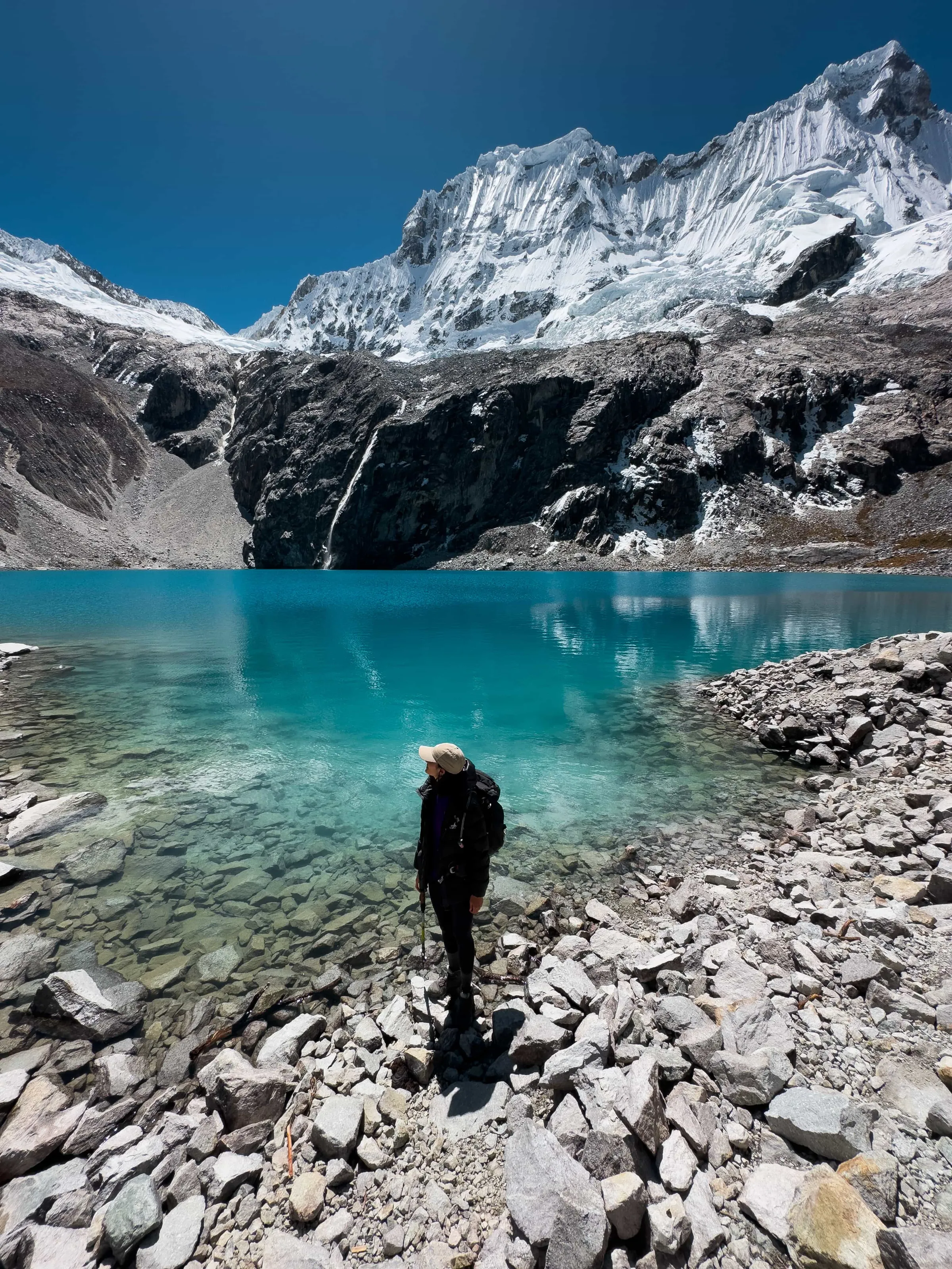
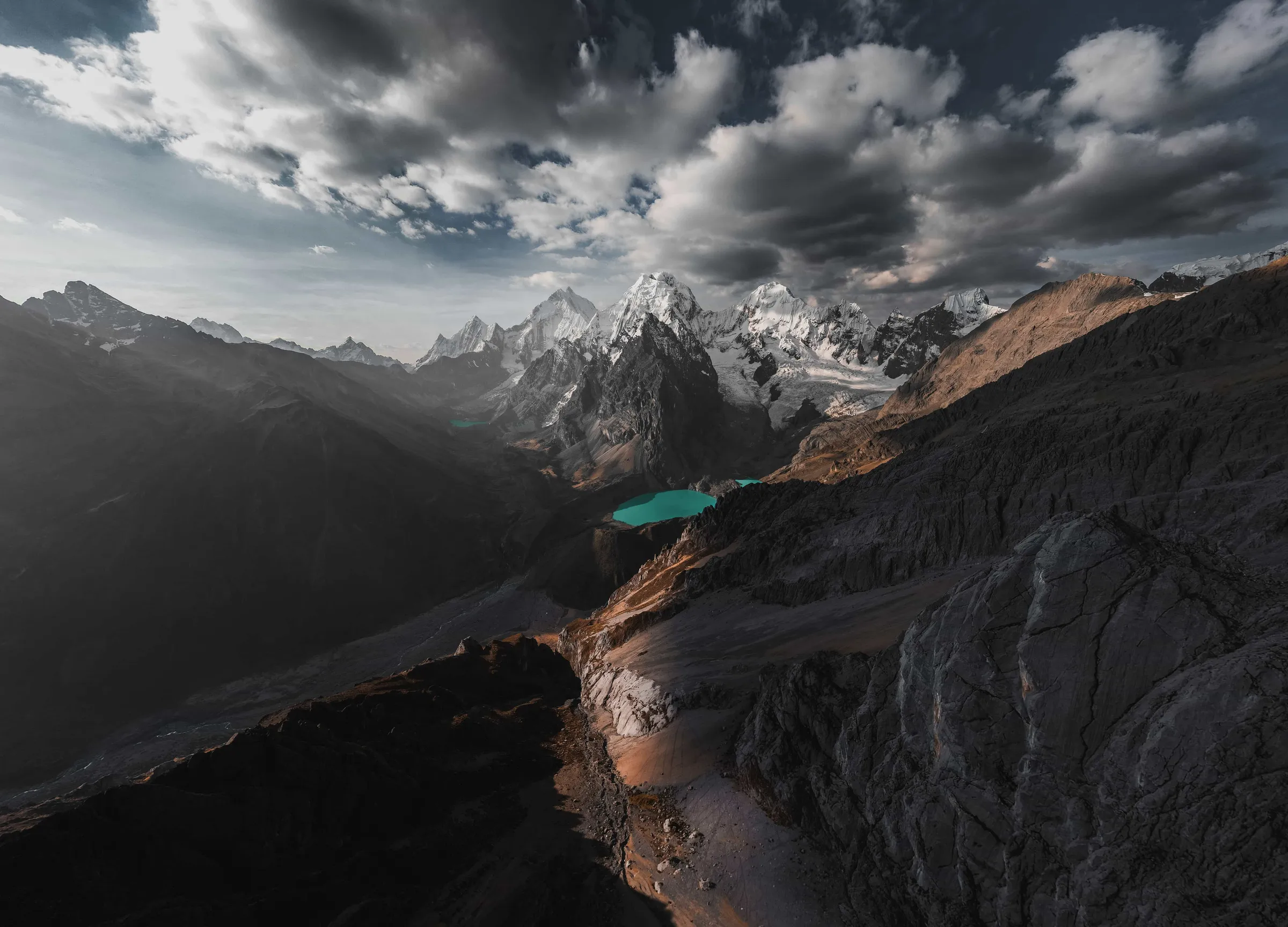
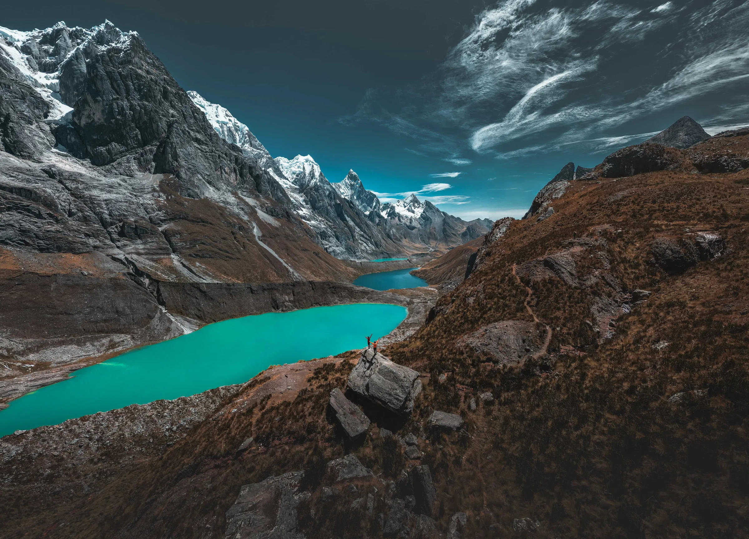
The Cordillera Huayhuash, in northern Peru near the city of Huaraz, is considered by many to be one of the most spectacular alpine treks in the world. Its landscapes include towering peaks over 6,000 m (19,685 ft), such as Yerupajá, Peru's second-highest mountain at 6,635 m (21,768 ft), along with glaciers, turquoise lakes and views straight off a postcard.
There are several circuits through the range, and the classic 12-day route is the most complete: it circles the entire cordillera over about 120 km (74.6 miles). We didn't have that many days, so we did a shorter version of 5 days and about 70 km (43.5 miles). In this article we share our experience in full detail.
Whichever itinerary you choose, one factor is key: altitude. The lowest point is around 4,100 m (13,451 ft), the average stays at 4,500 m (14,764 ft) and several passes go above 5,000 m (16,404 ft). So the most important thing is to be well acclimatized before you start, to avoid altitude sickness (soroche or apunamiento), which can become dangerous.
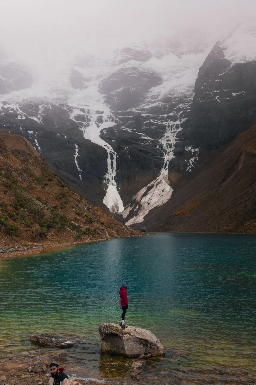
The Huayhuash trek will test your body and mind, but it will also connect you deeply with nature. Along the way you'll cross green valleys and rocky passes and walk past lakes in shades of blue and green that look like they belong on another planet.
In this guide we tell you how we organized our 5-day Huayhuash trek, the best spots along the route and all the practical tips, so you can have this unforgettable adventure too.

Travel with peace of mind with Heymondo travel insurance
Get your travel insurance on Heymondo (opens in a new tab)
This is an affiliate link: if you book or buy through it, we earn a commission at no extra cost to you.
What's the best time of year for the Huayhuash trek?
The best time for the Huayhuash trek is the dry season, from May to September. The weather in these months is much more stable, it hardly rains and the skies are usually clear, so you get the most out of the views of the snowy peaks and lakes.
Avoid the rainy season (October to April). The trails can turn dangerous, with mud or landslides, and visibility drops quite a bit. There's also a much higher chance you won't get to enjoy the scenery the way it deserves.
We went in August and had spectacular sunny days, though the nights were cold. If you can choose, June and July tend to have the driest, most stable weather.
How do you get to the Cordillera Huayhuash?
The most common starting point for the Huayhuash trek is the city of Huaraz, about 8 hours by bus from Lima. From Huaraz you can take local or private transportation to nearby villages like Llamac, Cuartelwain or Pocpa, which are usually the main access points to the circuit.
👉 If you book a tour in Huaraz, the round-trip transfer to the start of the trek is usually included, so that's one less thing to worry about.
There are several ways to get from Lima to Huaraz:
- 🚌 Comfortable buses with companies like Cruz del Sur or Movil Tours (the trip takes 7 to 8 hours).
- ✈️ LATAM recently started direct flights from Lima to Anta airport, just 40 minutes from Huaraz.
We took the bus from Lima and, honestly, we arrived rested and ready to start acclimatizing.

Book the Huayhuash trek
See tours on Viator (opens in a new tab)
This is an affiliate link: if you book or buy through it, we earn a commission at no extra cost to you.
What to keep in mind before doing the Huayhuash trek
Hiking the Cordillera Huayhuash is no small thing. It's an incredible journey, but a physically and mentally demanding one, so being well prepared is key.
🌬️ Altitude on the Huayhuash
Altitude is the biggest challenge. The whole circuit stays above 4,000 m (13,123 ft), and some mountain passes go over 5,000 m (16,404 ft). It's essential to spend a few days acclimatizing in Huaraz before you set off. We did it with a few earlier hikes, like the ones we describe in this Huaraz guide, and that was key to avoiding altitude sickness.
💪 Fitness
This trek isn't for beginners. You need good stamina, since you'll be walking for several days in a row, at altitude, carrying weight (if you go on your own). If you've already done other multi-day mountain treks, you'll enjoy it much more.
🎒 The gear you need
Bring warm clothes and rain gear, broken-in hiking boots, a comfortable backpack, a sleeping bag for low temperatures, a headlamp and everything else you'll need if you're going on your own. If you book a tour, they usually provide almost all the equipment, which takes a lot of weight off you.
💸 Fees and permits
Communities along the route charge entrance fees at various points. It's important to carry cash in Peruvian soles to pay them.
Ways to do the Cordillera Huayhuash trek
1. The Huayhuash trek on your own, without a guide
Ideal for the more adventurous, though we don't recommend it if this is your first high-altitude trek. You'll have to organize EVERYTHING: route, gear, food, campsites, permits… and then carry the weight for the whole trip. There are a few places where you can get some basic food, but in general you have to carry it all.
👉 If you go on your own, it's key to do your research, have mountain experience and be ready for anything unexpected.
2. The Huayhuash trek with a tour
This is the most common option and, honestly, the most comfortable and safest. Tours usually include:
- Expert guides
- Mules and arrieros (muleteers) who carry the gear
- A cook and all your meals
- Tents and logistics
- Permits and local fees taken care of
You're also with local people who know the range inside out, which adds a huge amount to the experience.
We chose to do the 5-day circuit with a tour, and it was the best decision.

See all the places to stay in Huaraz
Book your stay on Agoda (opens in a new tab)
This is an affiliate link: if you book or buy through it, we earn a commission at no extra cost to you.
Our route through the Cordillera Huayhuash
When we got to Huaraz, the weather wasn't looking great. We managed to do a few acclimatization hikes, but as the date of our Cordillera Huayhuash trek got closer, the days got rainier and rainier.
We had few days left, but we didn't want to leave without seeing this incredible range. So we decided on the short version of the trek, which in 5 days took us through its most iconic landscapes. We walked 71 km (44.1 miles), crossed 7 mountain passes and had spectacular views at every step.
We chose the east side of the circuit, which has some of its most famous scenery, like the Mirador de las Tres Lagunas (Three Lakes Viewpoint) and the imposing Paso San Antonio. We started in Matacancha and finished at Laguna Sura Saca.
How did we do it?
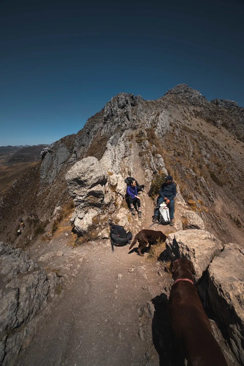
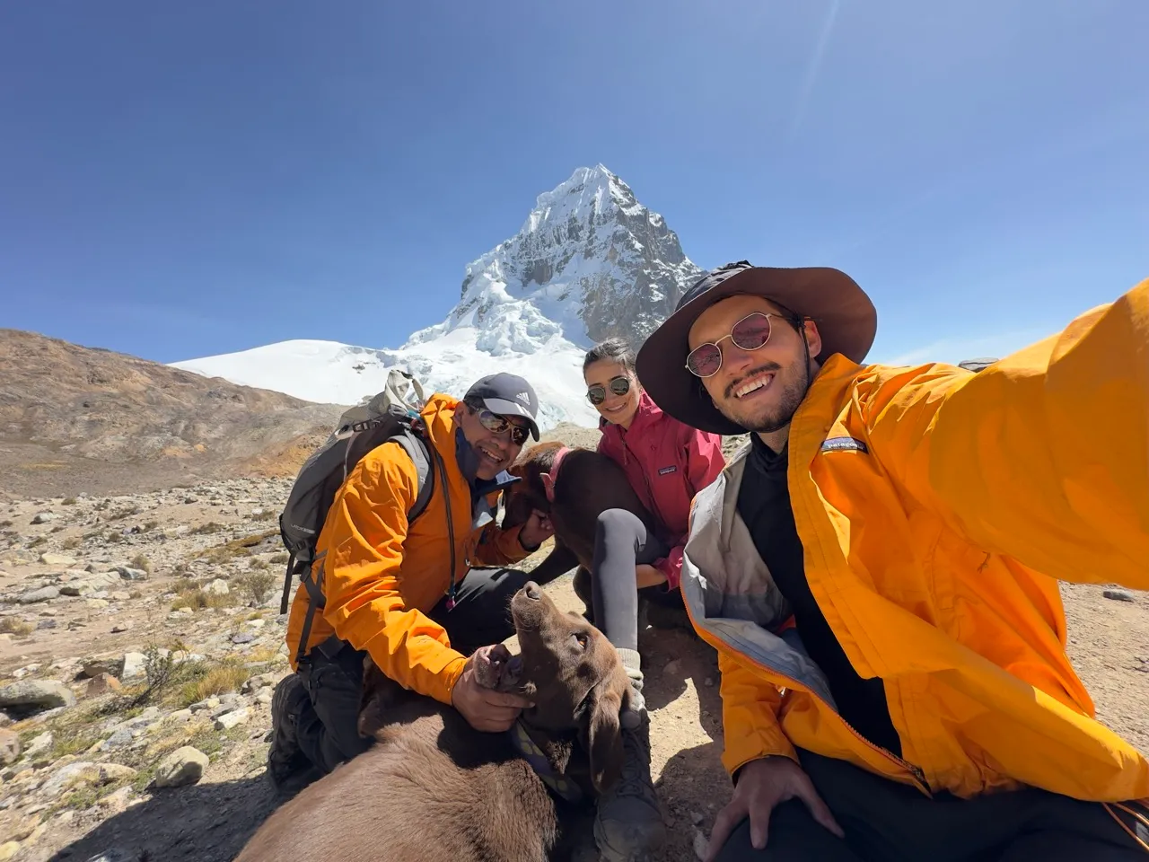
We went with an agency and it was, without a doubt, the best decision for getting the most out of the experience. We chose Nuestra Montaña, a company with a hugely experienced team. Sergio, its founder, came with us, along with his two labradors, Angus and Wayra. He's an excellent person with a huge amount of mountain experience. Sergio also runs expeditions on peaks across the Americas, including Aconcagua (which he has summited many, many times!).
Alicho, the arriero, also came with us, carrying all our gear on his donkeys. By the time we reached camp each day, our tent was already up and the food was ready, so we could relax and enjoy our surroundings.
The trek at a glance
- Duration: 5 days
- Total distance: 71 km (44.1 miles)
- Maximum altitude: 5,200 m (17,060 ft)
- Difficulty: High
- Route on Wikiloc
Day 1: Matacancha – Paso Cacananpunta – Mitucocha Camp
We left Huaraz very early for Matacancha (Cuartelwain), about 6 hours away by van. There we repacked our backpacks, setting aside what we weren't going to carry so the donkeys could take it.
We started the trek with a demanding climb to Paso Cacananpunta (4,700 m / 15,420 ft). From there we took a detour to a viewpoint with a spectacular view of Laguna Mitucocha, then descended to our first camp, right beside the lake, at 4,260 m (13,976 ft).
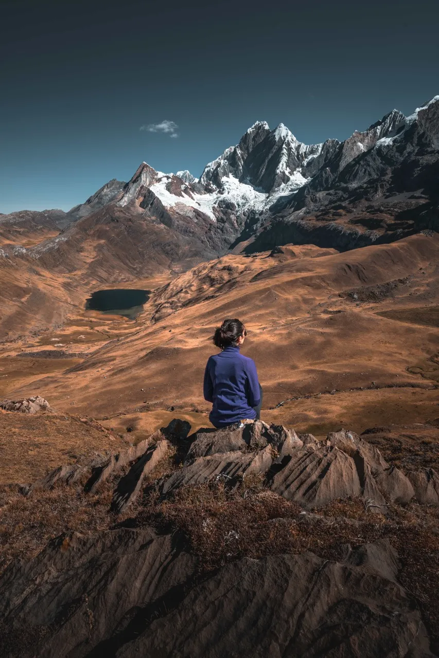
The view was incredible: snowy peaks in the background, the stream running down from the lake and the silence of the mountains made for a perfect end to the first day.
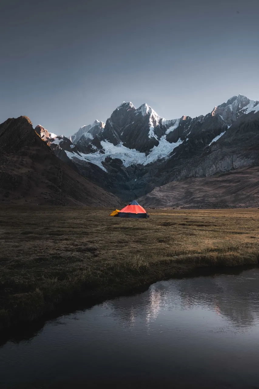
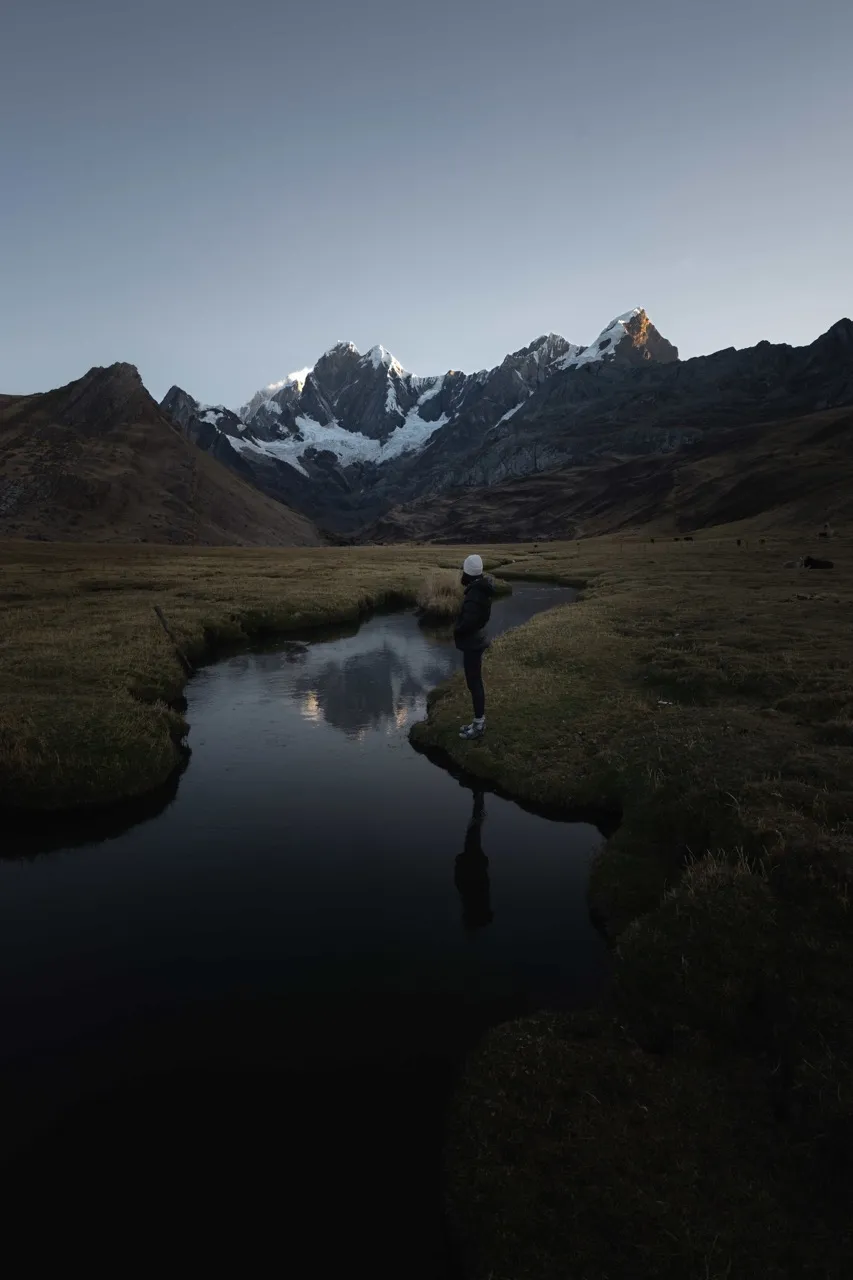
Day 2: Mitucocha – Paso Carhuac – Carhuacocha Camp
This was one of the least physically demanding days. We walked 10 km (6.2 miles) from Laguna Mitucocha to Carhuacocha, crossing Paso Carhuac (4,600 m / 15,092 ft).
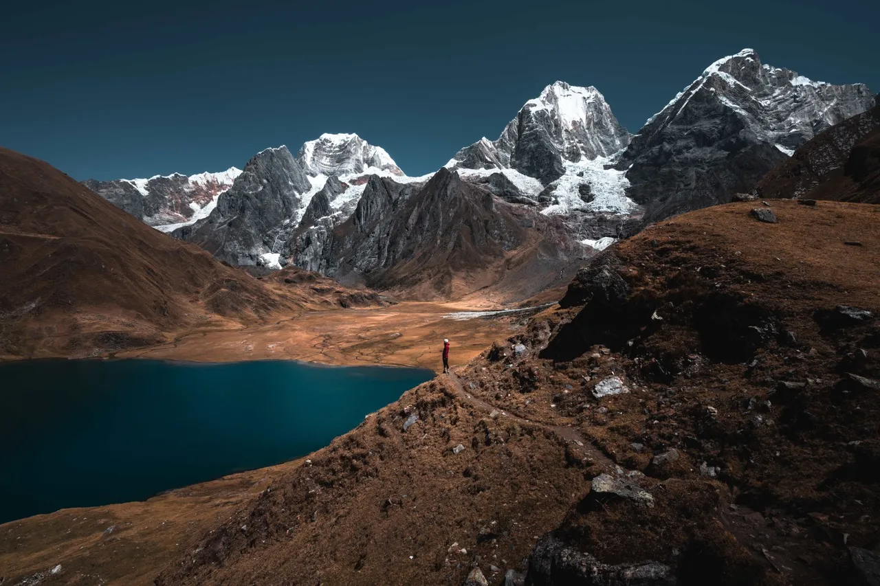
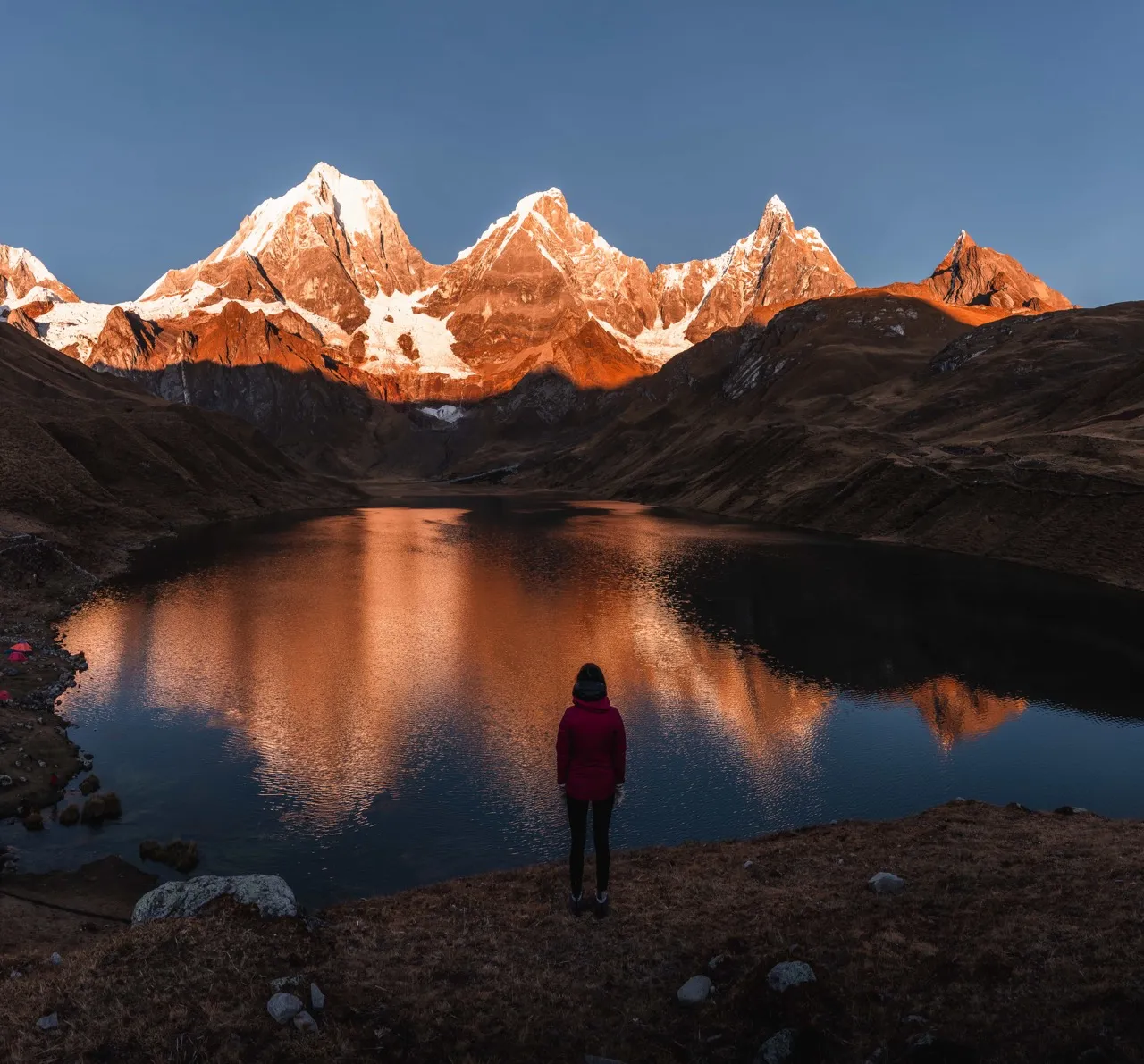
The camp at Carhuacocha (4,150 m / 13,615 ft) was our favorite. It's surrounded by incredible peaks, and the reflection on the water is perfect for photos. We took pictures at sunset, at night and at sunrise. All of it felt magical.
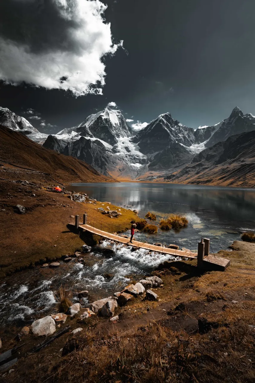
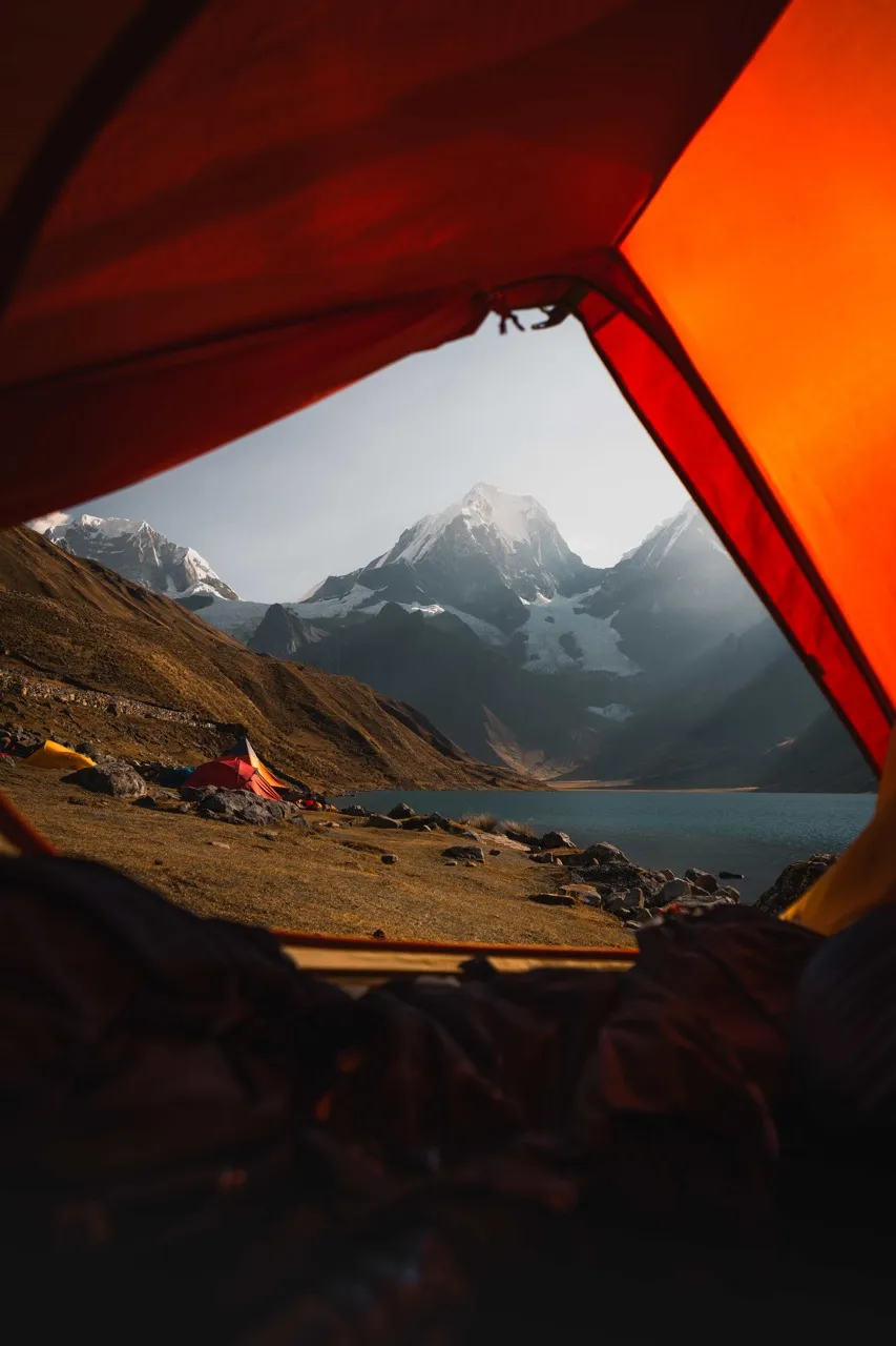
Day 3: Carhuacocha – Paso Siula – Huayhuash Camp
We got up to watch the sunrise over the lake, and it was one of the loveliest moments of the trip.
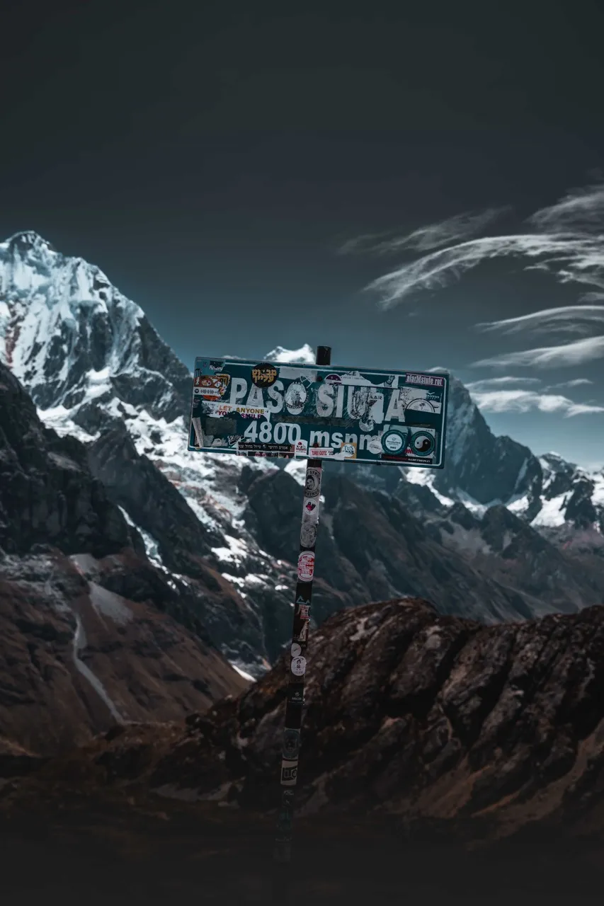
On this day we walked 14 km (8.7 miles), climbing to Paso Siula (4,800 m / 15,748 ft). We first passed Laguna Cangrajanca and then went up to the Mirador de las Tres Lagunas, one of the most iconic spots on the circuit. Seeing it in person after so many photos was moving. It gave us goosebumps!
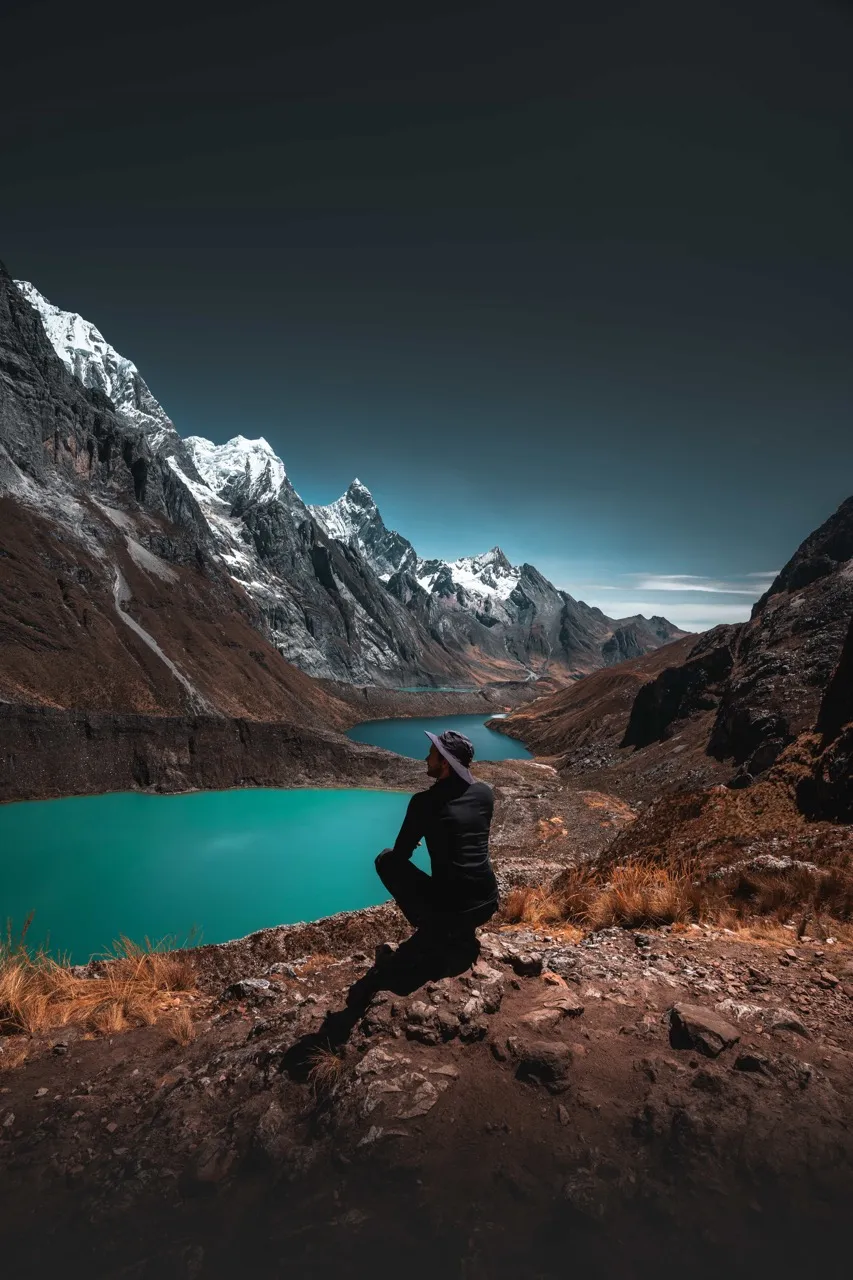
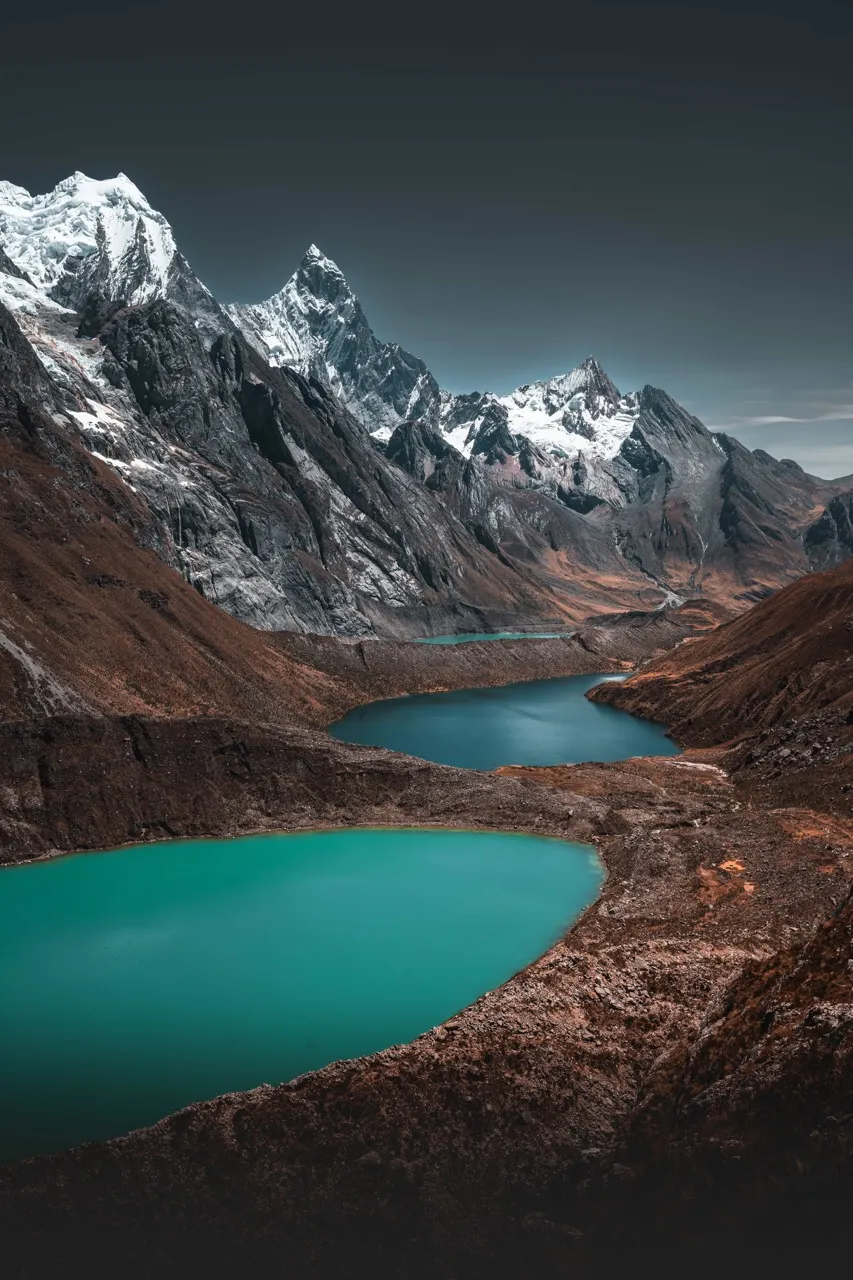
After the viewpoint, we continued to the pass and then descended to Huayhuash camp (4,350 m / 14,272 ft), surrounded by spectacular mountains.
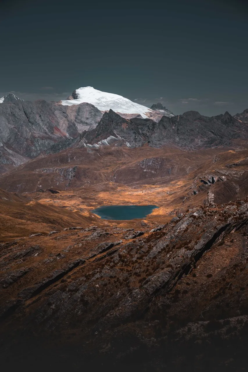
Day 4: Huayhuash – Paso Trapecio – Paso San Antonio – Elefante Camp
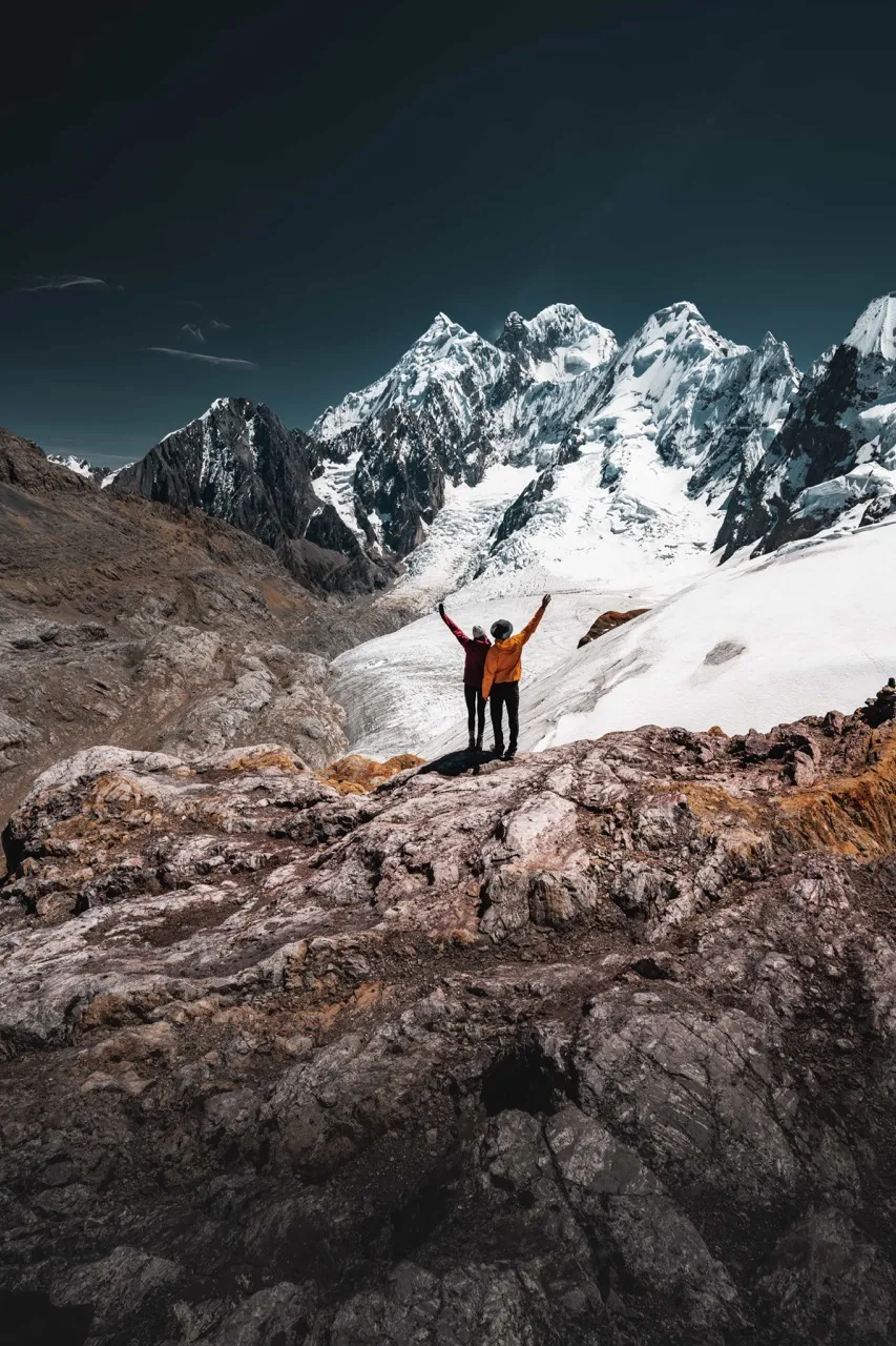
The fourth day was, without a doubt, the toughest of all. We walked 18 km (11.2 miles) in about 9 hours and climbed two high passes: Paso Trapecio at 5,040 m (16,535 ft) and the famous Paso San Antonio at 5,000 m (16,404 ft). We spent the night at Elefante Camp, at 4,500 m (14,764 ft).
We started very early, with a steep climb from camp up to Paso Trapecio at 5,040 m (16,535 ft). At the top, we took a short detour to reach 5,200 m (17,060 ft) and enjoy even more impressive views of the mountain and its glaciers. After taking in that incredible landscape we started down, and on the way we came across a beautiful turquoise lake, so we stopped for a snack with that view.
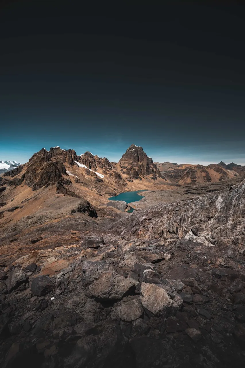
We kept walking until we were just a few meters from Elefante Camp. We were pretty exhausted by then, so we flopped down beside the trail to rest and eat the lunch we had in our backpacks. All we wanted was to get to camp and rest! But we still had the last big climb ahead of us: Paso San Antonio. With camp so close, the idea of climbing any further seemed impossible. But our guide, Sergio, promised us the last effort of the day was worth it. This pass was optional, simply a way to take in one of the most impressive views of the trek.
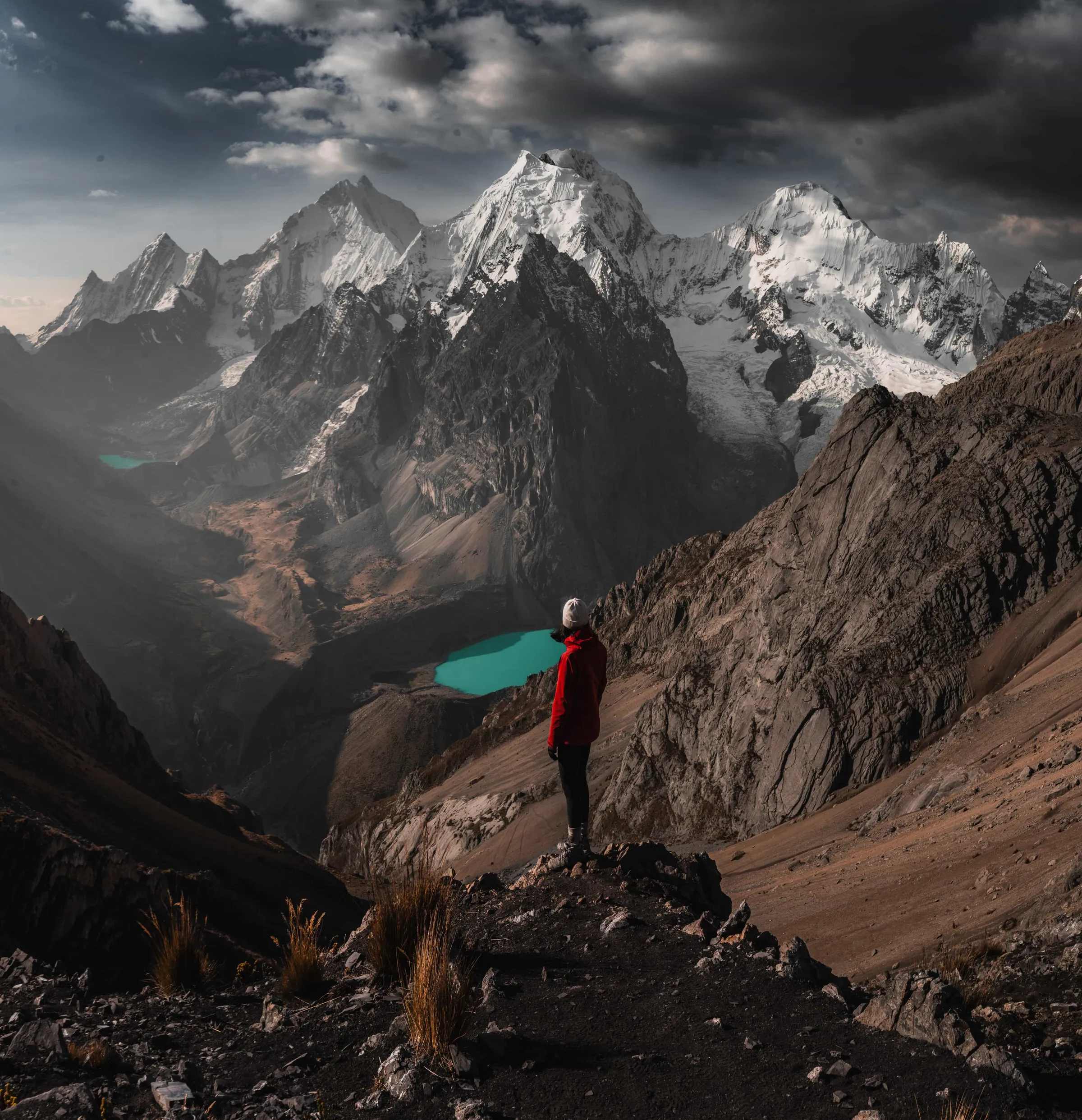
After resting for a while, we took on the hard climb to Paso San Antonio, which gains 500 m (1,640 ft) from camp. Tired as we were, the view from up there made all the effort worth it. When we reached the top, our eyes filled with tears at so much vastness. The landscape was mind-blowing, and there we were, tiny before the majesty of the range. It's probably the most beautiful thing we've seen in our lives.
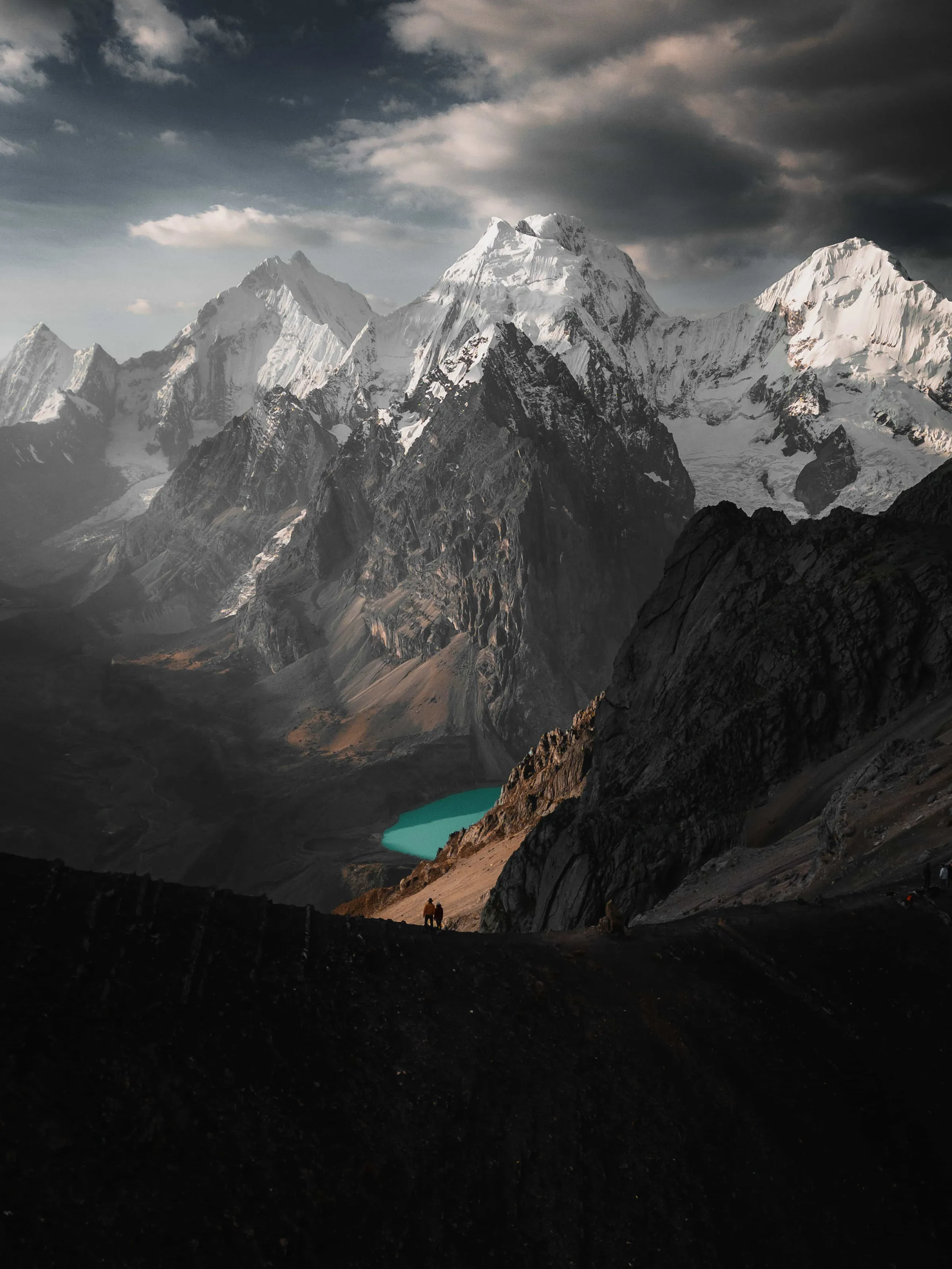
Day 5: Elefante Camp – Paso Cuyoc – Paso Portachuelo – Laguna Sura Saca
The last day of our trek was, without a doubt, the longest and most challenging in terms of distance. We walked 21 km (13 miles) and crossed two high passes: Paso Cuyoc at 5,000 m (16,404 ft) and Paso Portachuelo at 4,800 m (15,748 ft). We left Elefante Camp bound for Laguna Sura Saca, where the transportation we had arranged with the agency was waiting to take us back to Lima.
We set off earlier than ever this day, at 4:20 in the morning, when it was still dark and bitterly cold. Worn out from the day before, we found the first climb toward Paso Cuyoc very hard. As we went up to the pass, the sunrise began to light up the landscape and gave us a spectacular view of the range in the distance.
The fifth day was special not only because it was the longest, but also because we got to watch the scenery change constantly along the way. We crossed green valleys, skirted Laguna Viconga and climbed the rocky Paso Portachuelo before descending to Laguna Sura Saca.
We finally reached Laguna Sura Saca exhausted but satisfied, knowing we had completed one of the most spectacular trekking routes in the world.

Stay connected with a Holafly eSIM
Get an eSIM on Holafly (opens in a new tab)
This is an affiliate link: if you book or buy through it, we earn a commission at no extra cost to you.
Variations on the Huayhuash route
Full route (8 days)
If you decide to do the full Huayhuash circuit in 8 days, the first 4 days are the same as our shorter version. From day 5, the route continues like this:
Day 5: Elefante Camp - Huanacpatay Valley – Huayllapa
This day is much more relaxed than the previous ones. You cover 14 km (8.7 miles), mostly downhill, through a picturesque valley until you reach the small village of Huayllapa.
There you can stay at a simple but comfortable inn, where you can even take a hot shower, get on the wifi and relax in some hot springs. It's an ideal break after several days deep in the mountains.
Day 6: Huayllapa - Paso Tapush - Gashpapampa
From Huayllapa, a gradual climb takes you up to Paso Tapush, at 4,770 m (15,650 ft). The landscape changes drastically, from green areas to drier, rockier terrain.
You then descend slightly to Gashpapampa camp, at 4,570 m (14,993 ft).
Day 7: Gashpapampa - Paso Punta Llaucha - Laguna Jahuacocha
One of the most striking days of the circuit. You cross Paso Llaucha at 4,850 m (15,912 ft), which has an impressive panoramic view of Laguna Jahuacocha and the snowcapped peaks around it.
The way down is long, but the landscape gets greener as you descend. The walk to the camp beside the lake takes about 7 hours.
Day 8: Laguna Jahuacocha – Paso Pampa Llamac - Llamac - Huaraz
On the last day you descend through the Quebrada Huayllan, crossing fields of ichu (Andean grass) and stands of quenual trees, to Paso Pampa Llamac (4,300 m / 14,108 ft). From there you keep going down to the village of Llamac, where the trek ends and you take transportation back to Huaraz.
The Huayhuash Alpine Circuit
For the most experienced, there's an even more demanding variation: the Huayhuash Alpine Circuit.
Unlike the traditional route, this circuit runs closer to the peaks of the range, crossing snowfields, glaciers and high mountain passes. It's done at a higher altitude, which significantly increases the physical and technical difficulty.
Our personal experience on the Huayhuash
Trekking the Cordillera Huayhuash was one of the biggest and most rewarding challenges we've ever taken on. Completing this circuit wasn't only a physical goal, but a mental and emotional one too. We had prepared for months, training at home to be up to this adventure, and pulling it off was an indescribable feeling. The scale of the surroundings is almost impossible to process while you're there, surrounded by snowy peaks, lakes of incredible colors and a sky that seems to touch the mountains. Without a doubt, the beauty of this place justifies every step, every effort and every day totally cut off from the outside world.
Nature in its purest state wraps around you in a way you rarely experience. Being completely disconnected, with no signal, just us, the mountains and our trail companions, gave us a deep connection with the landscape. We were lucky to share the journey with Sergio, our guide, his two loyal dogs, Wayra and Angus, and our arriero Alicho, who all made the experience even more special.
Walking for days at such altitude and pushing past our own physical limits left us with a deep sense of achievement. Completing this trek isn't only a challenge. It's a unique experience that reminds us how small we are in the face of nature's vastness, but also how capable we are of reaching our goals.
- Did a price or a detail change? Tell us at hello@charoandmarcos.com
- Still have a question? Ask us on Instagram (opens in a new tab)

Your next step
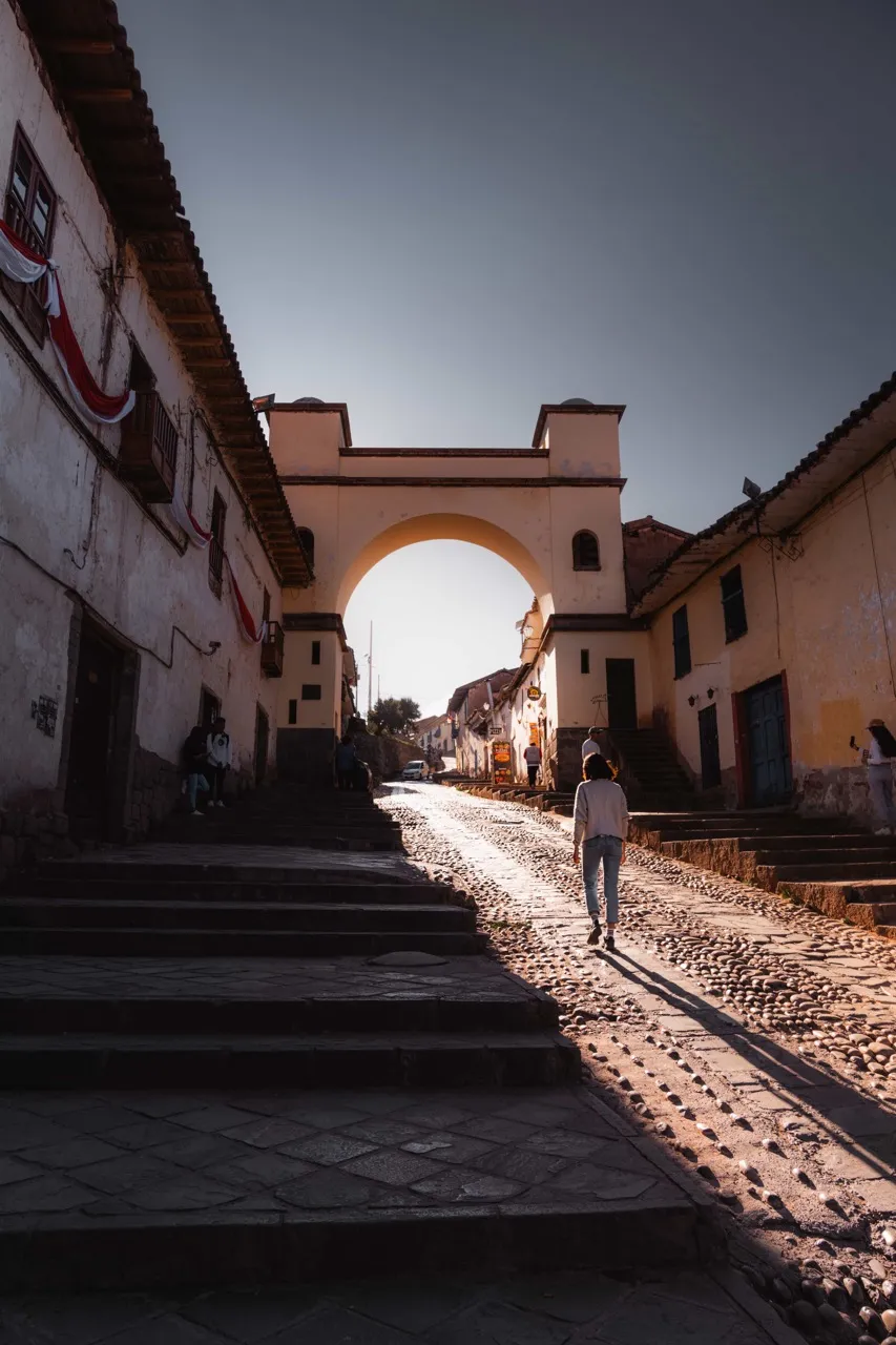
Cusco in 7 Days: A Full Day-by-Day Itinerary + Tips
Cusco, known as the capital of the Inca Empire, was the heart of Inca civilization and still preserves many traces of its glorious past…